Static Map Catalogue - Full Metadata Record
Collection QuickBird-2
QuickBird-2. More details.
QB2_OPER_BGI_4B__MP_20060613T061022_N34-451_E073-413_0001
Download Product | Browse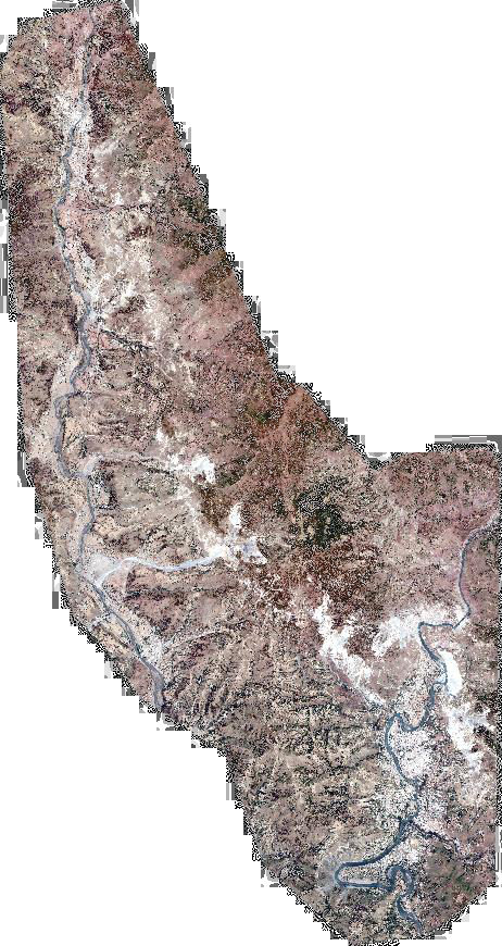
Path | E073 |
Row | N34 |
Start Date | 2006-06-13T06:10:22.757Z |
Stop Date | 2006-06-13T06:10:22.757Z |
Availability Time | 2006-06-13T06:10:22.757Z |
Instrument Short Name | BGI |
Sensor Type | OPTICAL |
Sensor Mode | PM |
Orbit number | 0 |
Illumination Azimuth Angle | 128.8 |
Illumination Elevation Angle | 73.5 |
Footprint | 34.58266498 73.32603941 34.31782166 73.33131647 34.32001390 73.50079257 34.58487893 73.49605095 34.58266498 73.32603941 |
Scene Centre | 34.4513742163 73.413552702 |
Size | 315794566 |
Acquisition Type | NOMINAL |
Product Type | BGI_4B__MP |
Cloud-Cover Percentage | 0 |
Resolution | 2.0 |
Processing Level | other: LV3A |
Bounding Box | 34.58487893 73.32603941 34.31782166 73.32603941 34.31782166 73.50079257 34.58487893 73.50079257 |
Scale | 1:50.000 Orthorectified |
Satellite | QuickBird-2 |