Static Map Catalogue - Full Metadata Record
Collection QuickBird-2
QuickBird-2. More details.
QB2_OPER_BGI_4B__2A_20060407T092602_N11-982_E023-329_0001
Download Product | Browse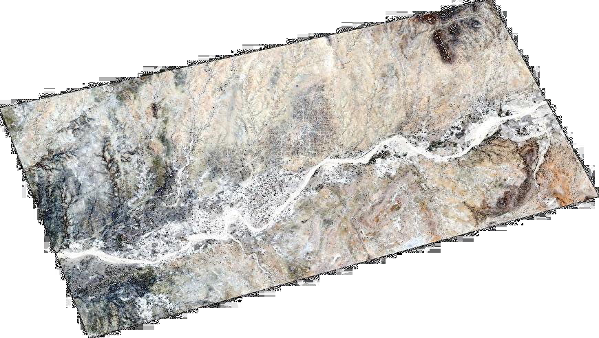
Path | E023 |
Row | N11 |
Start Date | 2006-04-07T09:26:02.194Z |
Stop Date | 2006-04-07T09:26:02.194Z |
Availability Time | 2006-04-07T09:26:02.194Z |
Instrument Short Name | BGI |
Sensor Type | OPTICAL |
Sensor Mode | PM |
Orbit number | 0 |
Illumination Azimuth Angle | 106.8 |
Illumination Elevation Angle | 73.7 |
Footprint | 12.01462408 23.27322527 11.95205716 23.27270154 11.95112532 23.38507106 12.01368722 23.38562062 12.01462408 23.27322527 |
Scene Centre | 11.9828790412 23.3291546887 |
Size | 41976945 |
Acquisition Type | NOMINAL |
Product Type | BGI_4B__2A |
Cloud-Cover Percentage | 0 |
Resolution | 2.4 |
Processing Level | other: LV2A |
Bounding Box | |
Scale | |
Satellite | QuickBird-2 |