Static Map Catalogue - Full Metadata Record
Collection QuickBird-2
QuickBird-2. More details.
QB2_OPER_BGI_PAN_MP_20090715T095833_N41-530_E015-583_0001
Download Product | Browse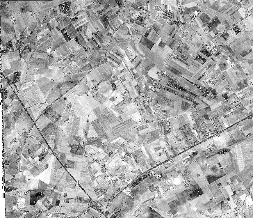
Path | E015 |
Row | N41 |
Start Date | 2009-07-15T09:58:33.958Z |
Stop Date | 2009-07-15T09:58:33.958Z |
Availability Time | 2009-07-15T09:58:33.958Z |
Instrument Short Name | BGI |
Sensor Type | OPTICAL |
Sensor Mode | PAN |
Orbit number | 0 |
Illumination Azimuth Angle | 140.5 |
Illumination Elevation Angle | 65.9 |
Footprint | 41.56514347 15.53088886 41.49610467 15.53032471 41.49556387 15.63690118 41.56460137 15.63757869 41.56514347 15.53088886 |
Scene Centre | 41.530365658 15.5839234175 |
Size | 215965150 |
Acquisition Type | NOMINAL |
Product Type | BGI_PAN_MP |
Cloud-Cover Percentage | 0 |
Resolution | 0.6 |
Processing Level | other: LV3A |
Bounding Box | 41.56514347 15.53032471 41.49556387 15.53032471 41.49556387 15.63757869 41.56514347 15.63757869 |
Scale | 1:50.000 Orthorectified |
Satellite | QuickBird-2 |