Static Map Catalogue - Full Metadata Record
Collection QuickBird-2
QuickBird-2. More details.
QB2_OPER_BGI_PAN_2A_20080831T110054_N52-362_E004-992_0001
Download Product | Browse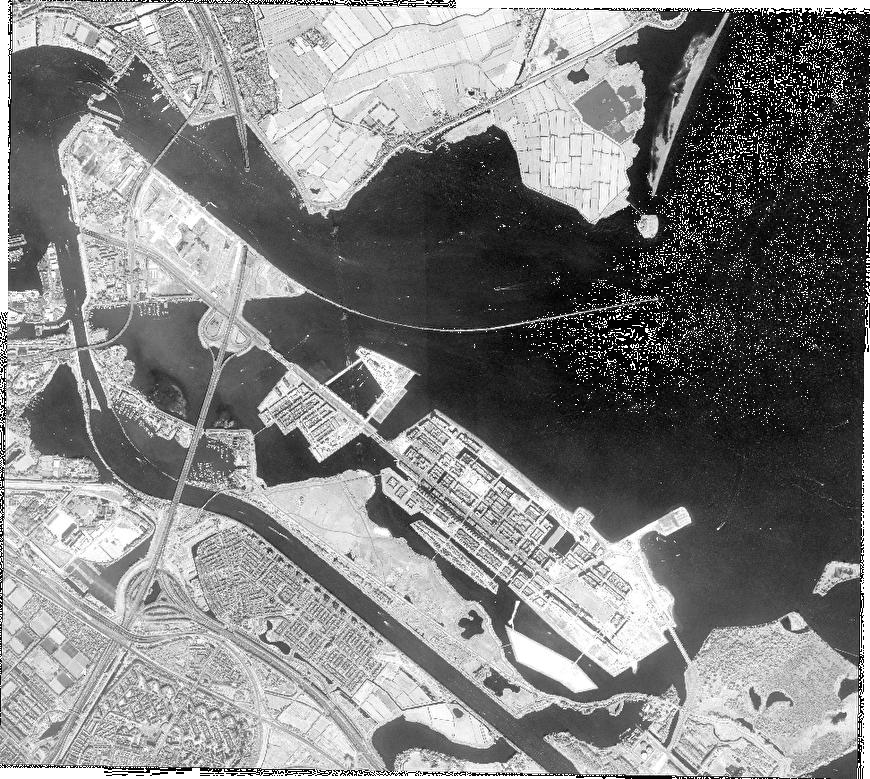
Path | E004 |
Row | N52 |
Start Date | 2008-08-31T11:00:54.147Z |
Stop Date | 2008-08-31T11:00:54.147Z |
Availability Time | 2008-08-31T11:00:54.147Z |
Instrument Short Name | BGI |
Sensor Type | OPTICAL |
Sensor Mode | PAN |
Orbit number | 0 |
Illumination Azimuth Angle | 166.1 |
Illumination Elevation Angle | 45.5 |
Footprint | 52.38715973 4.94997262 52.33990209 4.94789243 52.33844927 5.03407923 52.38570444 5.03625131 52.38715973 4.94997262 |
Scene Centre | 52.3628117324 4.99204903847 |
Size | 115026076 |
Acquisition Type | NOMINAL |
Product Type | BGI_PAN_2A |
Cloud-Cover Percentage | 0 |
Resolution | 0.5 |
Processing Level | other: LV2A |
Bounding Box | |
Scale | |
Satellite | QuickBird-2 |