Static Map Catalogue - Full Metadata Record
Collection QuickBird-2
QuickBird-2. More details.
QB2_OPER_BGI_4B__2A_20120525T101750_N52-363_E004-978_0001
Download Product | Browse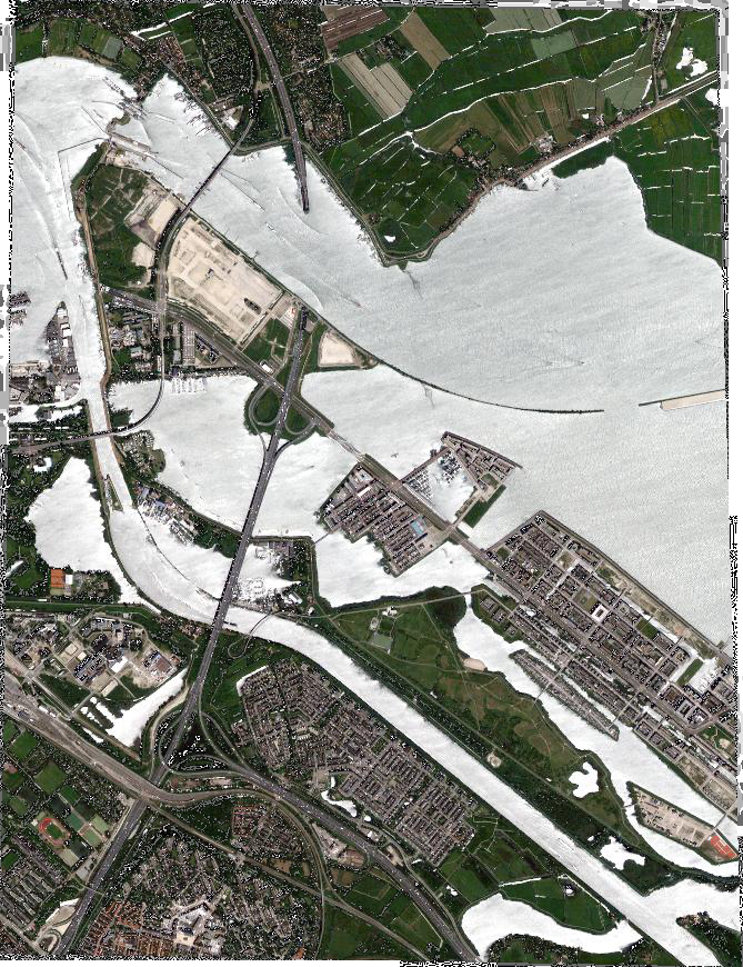
Path | E004 |
Row | N52 |
Start Date | 2012-05-25T10:17:50.215Z |
Stop Date | 2012-05-25T10:17:50.215Z |
Availability Time | 2012-05-25T10:17:50.215Z |
Instrument Short Name | BGI |
Sensor Type | OPTICAL |
Sensor Mode | PM |
Orbit number | 0 |
Illumination Azimuth Angle | 146.3 |
Illumination Elevation Angle | 55.3 |
Footprint | 52.38715281 4.94998334 52.34017820 4.94791557 52.33919146 5.00685616 52.38616440 5.00898638 52.38715281 4.94998334 |
Scene Centre | 52.3631753911 4.97843513414 |
Size | 25660696 |
Acquisition Type | NOMINAL |
Product Type | BGI_4B__2A |
Cloud-Cover Percentage | 0 |
Resolution | 2.0 |
Processing Level | other: LV2A |
Bounding Box | |
Scale | |
Satellite | QuickBird-2 |