Static Map Catalogue - Full Metadata Record
Collection IRS1
IRS-1C/1D ESA archive. More details here.
I1D_OPER_PAN_P___1A_20030701T095841_20030701T095841_030095_0029_0035_3R10
Download Product | Browse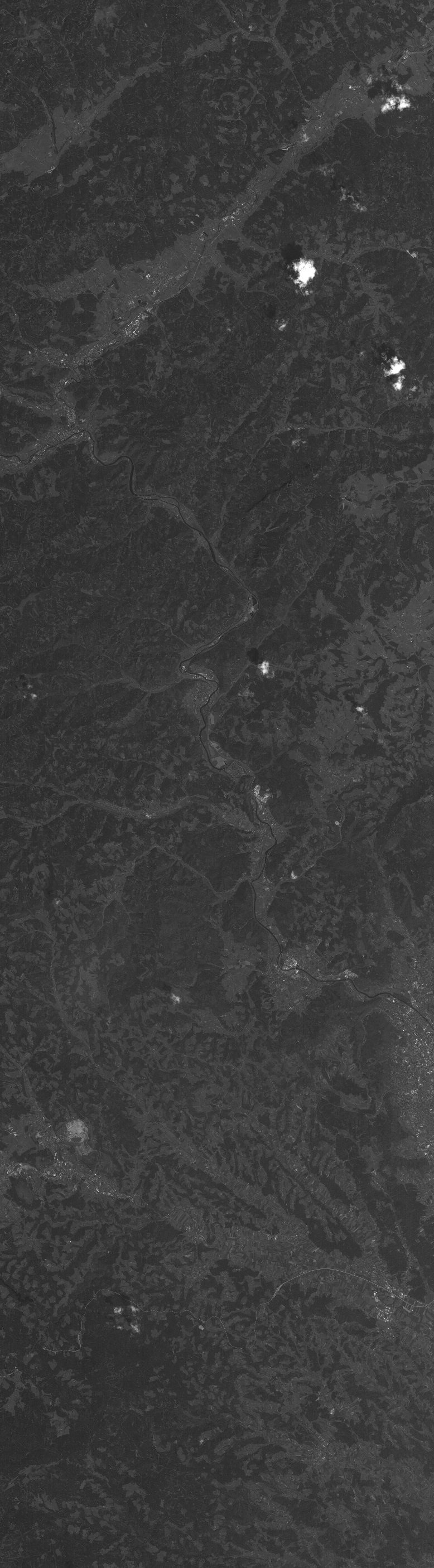
Start Date | 2003-07-01T09:58:41Z |
Stop Date | 2003-07-01T09:58:41Z |
Availability Time | 2003-07-01T09:58:41Z |
Instrument Short Name | PAN |
Sensor Type | OPTICAL |
Operational Mode | P |
Orbit | 30095 |
Longitude | 29 |
Latitude | 35 |
Illumination Azimuth Angle | 148.1154938 |
Illumination Elevation Angle | 62.8890991 |
Footprint | 47.6122629 15.2921180 46.8814821 15.0132497 46.8362988 15.3258632 47.5664591 15.6090302 47.6122629 15.2921180 |
Scene Centre | 47.2241257 15.3100653 |
Product Size | 1437402 |
Acquisition Type | NOMINAL |
Product Type | PAN_P___1A |
Processing Date | 2014-11-28T02:26:56Z |
Original Name | 0307011D00290035PCL00S4 |
SubScene Id | 0 |