Static Map Catalogue - Full Metadata Record
Collection IRS1
IRS-1C/1D ESA archive. More details here.
I1D_OPER_PAN_P___1A_20030701T095831_20030701T095831_030095_0029_0035_3R12
Download Product | Browse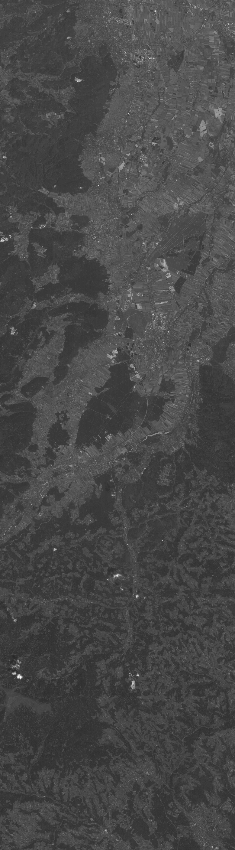
Start Date | 2003-07-01T09:58:31Z |
Stop Date | 2003-07-01T09:58:31Z |
Availability Time | 2003-07-01T09:58:31Z |
Instrument Short Name | PAN |
Sensor Type | OPTICAL |
Operational Mode | P |
Orbit | 30095 |
Longitude | 29 |
Latitude | 35 |
Illumination Azimuth Angle | 149.1074066 |
Illumination Elevation Angle | 62.4388008 |
Footprint | 48.1356553 16.1417611 47.4066211 15.8492779 47.3594214 16.1628147 48.0877761 16.4596460 48.1356553 16.1417611 |
Scene Centre | 47.7473685 16.1533749 |
Product Size | 1437030 |
Acquisition Type | NOMINAL |
Product Type | PAN_P___1A |
Processing Date | 2014-11-28T02:55:45Z |
Original Name | 0307011D00290035PAR00S4 |
SubScene Id | 2 |