Static Map Catalogue - Full Metadata Record
Collection GeoEye-1
GeoEye-1. More details.
GE1_OPER_GIS_PAN_2A_20100927T125932_N63-305_W020-602_0001
Download Product | Browse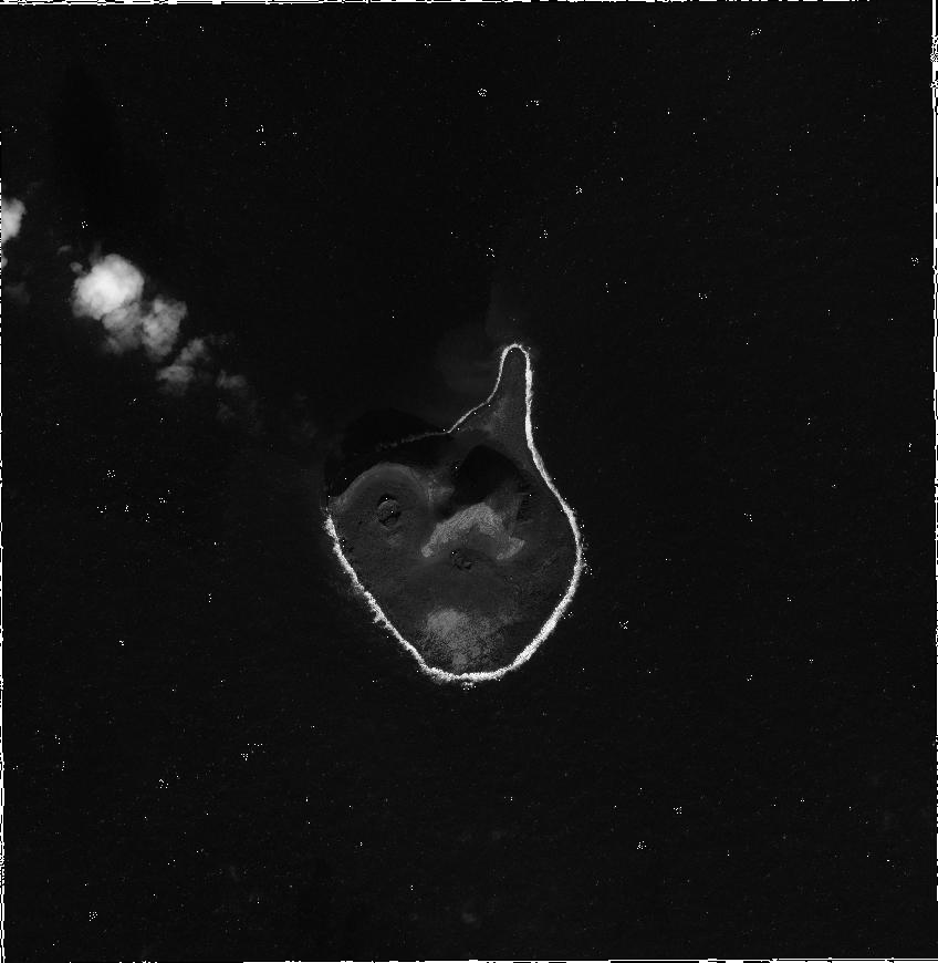
path | W020 |
row | N63 |
Start Date | 2010-09-27T12:59:32.899Z |
Stop Date | 2010-09-27T12:59:32.899Z |
Availability Time | 2010-09-27T12:59:32.899Z |
Instrument Short Name | GIS |
Sensor Type | OPTICAL |
Sensor Mode | PAN |
Orbit Number | 0 |
Illumination Azimuth Angle | 176.2 |
Illumination Elevation Angle | 25.1 |
Footprint | 63.32842660 -20.65180939 63.28251637 -20.65236307 63.28223909 -20.55293893 63.32814877 -20.55222692 63.32842660 -20.65180939 |
Scene Centre | 63.3053413772 -20.60233459 |
Size | 57465963 |
Acquisition Type | NOMINAL |
Product Type | GIS_PAN_2A |
Cloud-Cover Percentage | 5 |
Resolution | 0.5 |
Processing Level | other: LV2A |
Bounding Box | |
Scale |