Static Map Catalogue - Full Metadata Record
Collection GeoEye-1
GeoEye-1. More details.
GE1_OPER_GIS_4B__2A_20100927T125933_N63-305_W020-602_0001
Download Product | Browse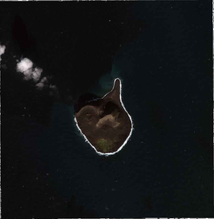
path | W020 |
row | N63 |
Start Date | 2010-09-27T12:59:33.183Z |
Stop Date | 2010-09-27T12:59:33.183Z |
Availability Time | 2010-09-27T12:59:33.183Z |
Instrument Short Name | GIS |
Sensor Type | OPTICAL |
Sensor Mode | PM |
Orbit Number | 0 |
Illumination Azimuth Angle | 176.2 |
Illumination Elevation Angle | 25.1 |
Footprint | 63.32841983 -20.65179450 63.28252306 -20.65234803 63.28224586 -20.55295378 63.32814208 -20.55224199 63.32841983 -20.65179450 |
Scene Centre | 63.305341372 -20.6023345875 |
Size | 14750200 |
Acquisition Type | NOMINAL |
Product Type | GIS_4B__2A |
Cloud-Cover Percentage | 5 |
Resolution | 2.0 |
Processing Level | other: LV2A |
Bounding Box | |
Scale |