Static Map Catalogue - Full Metadata Record
Collection GeoEye-1
GeoEye-1. More details.
GE1_OPER_GIS_4B__2A_20180916T102203_N45-058_E011-133_0001
Download Product | Browse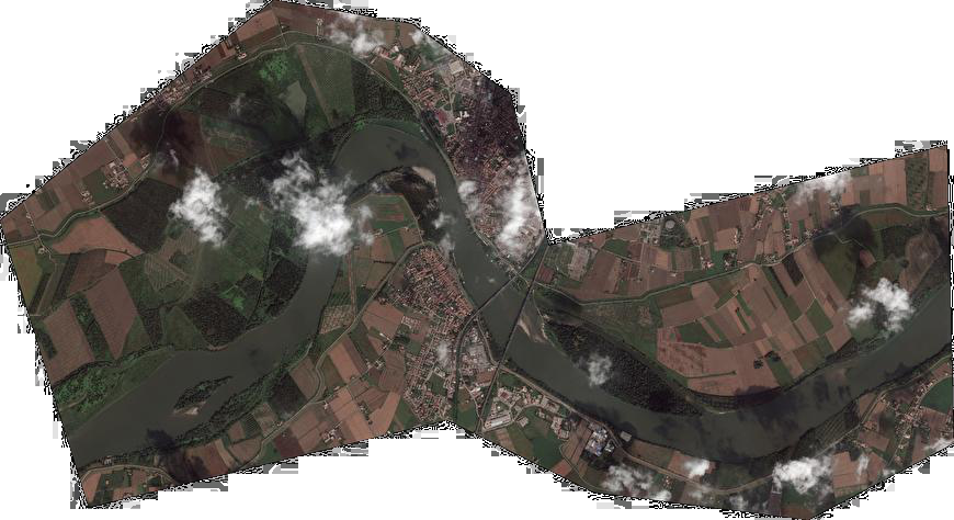
path | E011 |
row | N45 |
Start Date | 2018-09-16T10:22:03.151Z |
Stop Date | 2018-09-16T10:22:03.151Z |
Availability Time | 2018-09-16T10:22:03.151Z |
Instrument Short Name | GIS |
Sensor Type | OPTICAL |
Sensor Mode | PM |
Orbit Number | 0 |
Illumination Azimuth Angle | 162.4 |
Illumination Elevation Angle | 46.4 |
Footprint | 45.08012478 11.08141194 45.03934642 11.07993232 45.03737548 11.18542936 45.07815105 11.18698389 45.08012478 11.08141194 |
Scene Centre | 45.0587615841 11.1334400171 |
Size | 441449861 |
Acquisition Type | NOMINAL |
Product Type | GIS_4B__2A |
Cloud-Cover Percentage | 0 |
Resolution | 0.5 |
Processing Level | other: LV2A |
Bounding Box | |
Scale |