Static Map Catalogue - Full Metadata Record
Collection GEOSAT
GEOSAT ESA archive. More details here.
DE2_OPER_HRA_PM4_1C_20200412T024935_N31-463_E121-394_0000
Download Product | Browse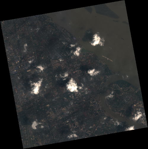
Start Date | 2020-04-12T02:49:35Z |
Stop Date | 2020-04-12T02:49:38Z |
Availability Time | 2020-04-12T02:49:38Z |
Instrument Short Name | HiRAIS |
Sensor Type | OPTICAL |
Operational mode | PM4 |
Resolution | 3.0 |
Orbit | 31505 |
Satellite | GEOSAT-2 |
Product type | HRA_PM4_1C |
Orbit Direction | ASCENDING |
Scene Centre Longitude | E121 |
Scene Centre Latitude | N31 |
Illumination Azimuth Angle | 142.599590848 |
Illumination Elevation Angle | 62.7759 |
Footprint | 31.449098 121.371879 31.473426 121.523786 31.339798 121.554295 31.315470 121.402388 31.449098 121.371879 |
Product Size | 800289123 |
Cloud Cover Percentage | 0 |
Acquisition Type | NOMINAL |
Bounding Box | 31.473426 121.371879 31.31547 121.371879 31.31547 121.554295 31.473426 121.554295 |
Original name | DE2_PM4_L1C_000000_20200412T024935_20200412T024938_DE2_31505_5898 |