Static Map Catalogue - Full Metadata Record
Collection GEOSAT
GEOSAT ESA archive. More details here.
DE2_OPER_HRA_PM4_1C_20200412T024933_N31-490_E121-273_0000
Download Product | Browse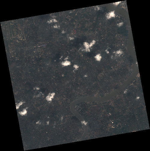
Start Date | 2020-04-12T02:49:33Z |
Stop Date | 2020-04-12T02:49:36Z |
Availability Time | 2020-04-12T02:49:36Z |
Instrument Short Name | HiRAIS |
Sensor Type | OPTICAL |
Operational mode | PM4 |
Resolution | 0.75 |
Orbit | 31505 |
Satellite | GEOSAT-2 |
Product type | HRA_PM4_1C |
Orbit Direction | ASCENDING |
Scene Centre Longitude | E121 |
Scene Centre Latitude | N31 |
Illumination Azimuth Angle | 142.491687454 |
Illumination Elevation Angle | 62.8821 |
Footprint | 31.327837 121.399508 31.352181 121.551358 31.218868 121.582122 31.194524 121.430272 31.327837 121.399508 |
Product Size | 817908155 |
Cloud Cover Percentage | 0 |
Acquisition Type | NOMINAL |
Bounding Box | 31.352181 121.399508 31.194524 121.399508 31.194524 121.582122 31.352181 121.582122 |
Original name | DE2_PM4_L1C_000000_20200412T024933_20200412T024936_DE2_31505_6EEE |