Static Map Catalogue - Full Metadata Record
Collection GEOSAT
GEOSAT ESA archive. More details here.
DE2_OPER_HRA_PM4_1C_20200413T030520_N30-304_E114-803_0000
Download Product | Browse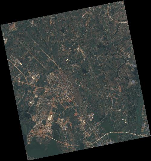
Start Date | 2020-04-13T03:05:20Z |
Stop Date | 2020-04-13T03:05:23Z |
Availability Time | 2020-04-13T03:05:23Z |
Instrument Short Name | HiRAIS |
Sensor Type | OPTICAL |
Operational mode | PM4 |
Resolution | 3.0 |
Orbit | 31520 |
Satellite | GEOSAT-2 |
Product type | HRA_PM4_1C |
Orbit Direction | ASCENDING |
Scene Centre Longitude | E114 |
Scene Centre Latitude | N30 |
Illumination Azimuth Angle | 135.884760351 |
Illumination Elevation Angle | 61.757999999999996 |
Footprint | 30.853215 114.223064 30.878436 114.353360 30.754620 114.385863 30.729399 114.255568 30.853215 114.223064 |
Product Size | 684032650 |
Cloud Cover Percentage | 0 |
Acquisition Type | NOMINAL |
Bounding Box | 30.878436 114.223064 30.729399 114.223064 30.729399 114.385863 30.878436 114.385863 |
Original name | DE2_PM4_L1C_000000_20200413T030520_20200413T030523_DE2_31520_995B |