Static Map Catalogue - Full Metadata Record
Collection GEOSAT
GEOSAT ESA archive. More details here.
DE2_OPER_HRA_PM4_1B_20160927T052921_N35-006_E074-121_0001
Download Product | Browse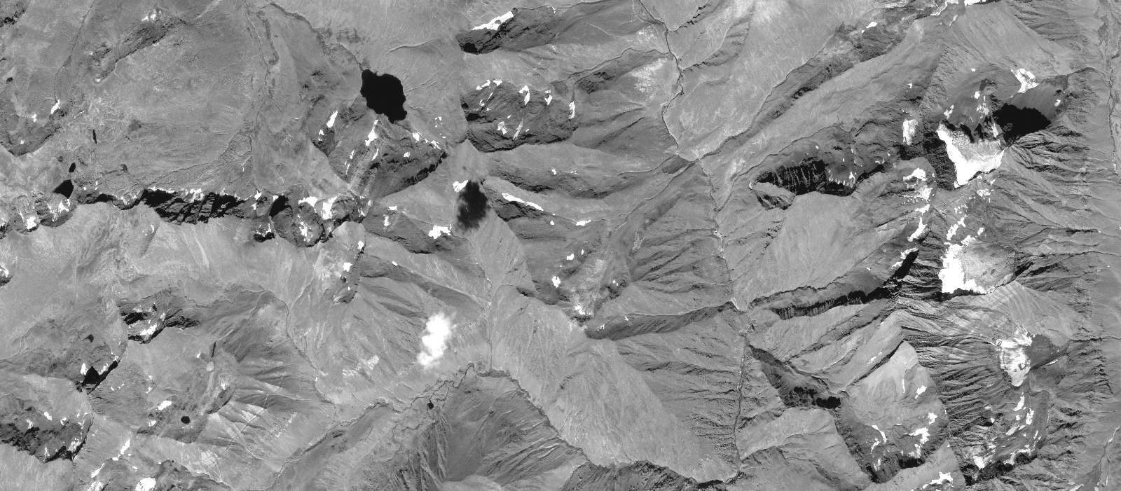
Start Date | 2016-09-27T05:29:21Z |
Stop Date | 2016-09-27T05:29:23Z |
Availability Time | 2016-09-27T05:29:23Z |
Instrument Short Name | HiRAIS |
Sensor Type | OPTICAL |
Operational mode | PM4 |
Resolution | |
Orbit | 12321 |
Satellite | GEOSAT-2 |
Product type | HRA_PM4_1B |
Orbit Direction | ASCENDING |
Scene Centre Longitude | |
Scene Centre Latitude | |
Illumination Azimuth Angle | 147.064398417 |
Illumination Elevation Angle | 48.1185 |
Footprint | 34.99701 74.214533 35.050373 74.196922 35.016661 74.028304 34.963243 74.045642 34.99701 74.214533 |
Product Size | 125563419 |
Cloud Cover Percentage | -1 |
Acquisition Type | NOMINAL |
Bounding Box | |
Original name | DE2_PM4_L1B_000000_20160927T052921_20160927T052923_DE2_12321_9392.zip |