Static Map Catalogue - Full Metadata Record
Collection GEOSAT
GEOSAT ESA archive. More details here.
DE2_OPER_HRA_PSH_1C_20200403T083706_N47-817_E028-120_0000
Download Product | Browse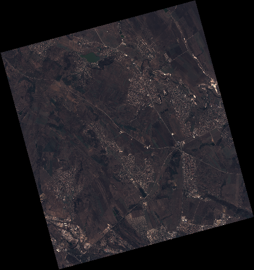
Start Date | 2020-04-03T08:37:06Z |
Stop Date | 2020-04-03T08:37:09Z |
Availability Time | 2020-04-03T08:37:09Z |
Instrument Short Name | HiRAIS |
Sensor Type | OPTICAL |
Operational mode | PSH |
Resolution | 0.75 |
Orbit | 31375 |
Satellite | GEOSAT-2 |
Product type | HRA_PSH_1C |
Orbit Direction | ASCENDING |
Scene Centre Longitude | E028 |
Scene Centre Latitude | N47 |
Illumination Azimuth Angle | 147.685688954 |
Illumination Elevation Angle | 44.0673 |
Footprint | 47.168509 28.714126 47.195496 28.876199 47.072580 28.920330 47.045593 28.758256 47.168509 28.714126 |
Product Size | 2083510079 |
Cloud Cover Percentage | 0 |
Acquisition Type | NOMINAL |
Bounding Box | 47.195496 28.714126 47.045593 28.714126 47.045593 28.92033 47.195496 28.92033 |
Original name | DE2_PSH_L1C_000000_20200403T083706_20200403T083709_DE2_31375_C65C |