Static Map Catalogue - Full Metadata Record
Collection GEOSAT
GEOSAT ESA archive. More details here.
DE2_OPER_HRA_PSH_1C_20200403T083703_N46-897_E028-897_0000
Download Product | Browse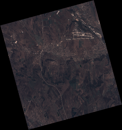
Start Date | 2020-04-03T08:37:03Z |
Stop Date | 2020-04-03T08:37:05Z |
Availability Time | 2020-04-03T08:37:05Z |
Instrument Short Name | HiRAIS |
Sensor Type | OPTICAL |
Operational mode | PSH |
Resolution | 0.75 |
Orbit | 31375 |
Satellite | GEOSAT-2 |
Product type | HRA_PSH_1C |
Orbit Direction | ASCENDING |
Scene Centre Longitude | E028 |
Scene Centre Latitude | N46 |
Illumination Azimuth Angle | 147.653404597 |
Illumination Elevation Angle | 44.2791 |
Footprint | 46.945491 28.794444 46.972409 28.955852 46.849553 28.999885 46.822634 28.838478 46.945491 28.794444 |
Product Size | 2062313648 |
Cloud Cover Percentage | 0 |
Acquisition Type | NOMINAL |
Bounding Box | 46.972409 28.794444 46.822634 28.794444 46.822634 28.999885 46.972409 28.999885 |
Original name | DE2_PSH_L1C_000000_20200403T083703_20200403T083705_DE2_31375_48CC |