Static Map Catalogue - Full Metadata Record
Collection GEOSAT
GEOSAT ESA archive. More details here.
DE2_OPER_HRA_PSH_1C_20200403T083618_N44-668_E028-051_0000
Download Product | Browse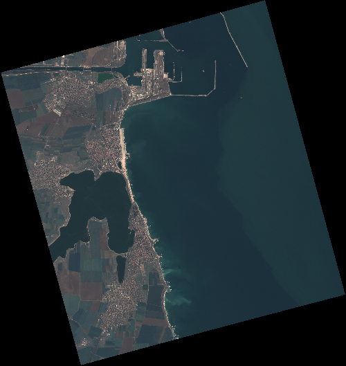
Start Date | 2020-04-03T08:36:18Z |
Stop Date | 2020-04-03T08:36:21Z |
Availability Time | 2020-04-03T08:36:21Z |
Instrument Short Name | HiRAIS |
Sensor Type | OPTICAL |
Operational mode | PSH |
Resolution | 0.75 |
Orbit | 31375 |
Satellite | GEOSAT-2 |
Product type | HRA_PSH_1C |
Orbit Direction | ASCENDING |
Scene Centre Longitude | E028 |
Scene Centre Latitude | N44 |
Illumination Azimuth Angle | 145.525114137 |
Illumination Elevation Angle | 46.4965 |
Footprint | 44.099581 28.570026 44.127577 28.724742 44.004146 28.767835 43.976151 28.613119 44.099581 28.570026 |
Product Size | 1913296778 |
Cloud Cover Percentage | 0 |
Acquisition Type | NOMINAL |
Bounding Box | 44.127577 28.570026 43.976151 28.570026 43.976151 28.767835 44.127577 28.767835 |
Original name | DE2_PSH_L1C_000000_20200403T083618_20200403T083621_DE2_31375_F2B7 |