Static Map Catalogue - Full Metadata Record
Collection GEOSAT
GEOSAT ESA archive. More details here.
DE2_OPER_HRA_PSH_1C_20200316T084326_N45-029_E028-382_0000
Download Product | Browse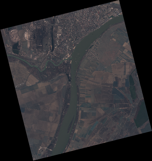
Start Date | 2020-03-16T08:43:26Z |
Stop Date | 2020-03-16T08:43:29Z |
Availability Time | 2020-03-16T08:43:29Z |
Instrument Short Name | HiRAIS |
Sensor Type | OPTICAL |
Operational mode | PSH |
Resolution | 0.75 |
Orbit | 31108 |
Satellite | GEOSAT-2 |
Product type | HRA_PSH_1C |
Orbit Direction | ASCENDING |
Scene Centre Longitude | E028 |
Scene Centre Latitude | N45 |
Illumination Azimuth Angle | 149.600551232 |
Illumination Elevation Angle | 38.7856 |
Footprint | 45.430413 27.930336 45.456658 28.088133 45.333649 28.129462 45.307404 27.971665 45.430413 27.930336 |
Product Size | 2033454721 |
Cloud Cover Percentage | 0 |
Acquisition Type | NOMINAL |
Bounding Box | 45.456658 27.930336 45.307404 27.930336 45.307404 28.129462 45.456658 28.129462 |
Original name | DE2_PSH_L1C_000000_20200316T084326_20200316T084329_DE2_31108_D7D4 |