Static Map Catalogue - Full Metadata Record
Collection GEOSAT
GEOSAT ESA archive. More details here.
DE2_OPER_HRA_PSH_1C_20200511T085216_N38-451_E027-171_0001
Download Product | Browse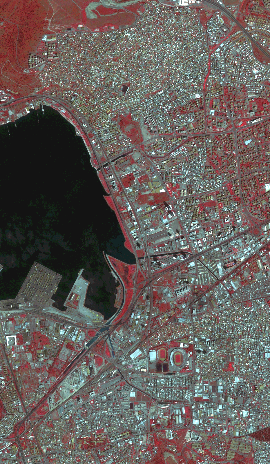
Start Date | 2020-05-11T08:52:16Z |
Stop Date | 2020-05-11T08:52:19Z |
Availability Time | 2020-05-11T08:52:19Z |
Instrument Short Name | HiRAIS |
Sensor Type | OPTICAL |
Operational mode | PSH |
Resolution | 0.808660574867 |
Orbit | 31939 |
Satellite | GEOSAT-2 |
Product type | HRA_PSH_1C |
Orbit Direction | ASCENDING |
Scene Centre Longitude | |
Scene Centre Latitude | |
Illumination Azimuth Angle | 135.845765202 |
Illumination Elevation Angle | 63.7792 |
Footprint | 38.421484 27.192952 38.480752 27.19311 38.480817 27.149062 38.421549 27.14894 38.421484 27.192952 |
Product Size | 278142005 |
Cloud Cover Percentage | 0 |
Acquisition Type | NOMINAL |
Bounding Box | 38.480817 27.14894 38.421484 27.14894 38.421484 27.19311 38.480817 27.19311 38.480817 27.14894 |
Original name | DE2_PSH_L1C_000000_20200511T085216_20200511T085219_DE2_31939_6C9B.zip |