Static Map Catalogue - Full Metadata Record
Collection GEOSAT
GEOSAT ESA archive. More details here.
DE2_OPER_HRA_PSH_1C_20200411T090353_N37-632_E023-902_0000
Download Product | Browse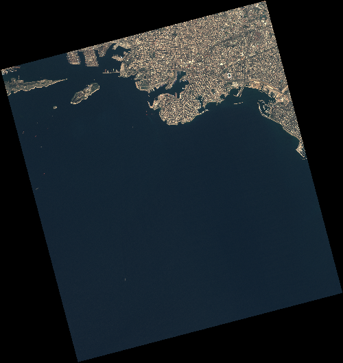
Start Date | 2020-04-11T09:03:53Z |
Stop Date | 2020-04-11T09:03:56Z |
Availability Time | 2020-04-11T09:03:56Z |
Instrument Short Name | HiRAIS |
Sensor Type | OPTICAL |
Operational mode | PSH |
Resolution | 0.75 |
Orbit | 31494 |
Satellite | GEOSAT-2 |
Product type | HRA_PSH_1C |
Orbit Direction | ASCENDING |
Scene Centre Longitude | E023 |
Scene Centre Latitude | N37 |
Illumination Azimuth Angle | 142.335395427 |
Illumination Elevation Angle | 55.2273 |
Footprint | 37.951418 23.544467 37.977160 23.684538 37.854377 23.720542 37.828634 23.580471 37.951418 23.544467 |
Product Size | 1879098717 |
Cloud Cover Percentage | 0 |
Acquisition Type | NOMINAL |
Bounding Box | 37.97716 23.544467 37.828634 23.544467 37.828634 23.720542 37.97716 23.720542 |
Original name | DE2_PSH_L1C_000000_20200411T090353_20200411T090356_DE2_31494_A07A |