Static Map Catalogue - Full Metadata Record
Collection GEOSAT
GEOSAT ESA archive. More details here.
DE2_OPER_HRA_PSH_1C_20200317T085717_N37-919_E023-871_0000
Download Product | Browse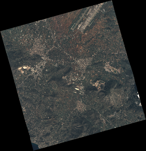
Start Date | 2020-03-17T08:57:17Z |
Stop Date | 2020-03-17T08:57:19Z |
Availability Time | 2020-03-17T08:57:19Z |
Instrument Short Name | HiRAIS |
Sensor Type | OPTICAL |
Operational mode | PSH |
Resolution | 0.75 |
Orbit | 31123 |
Satellite | GEOSAT-2 |
Product type | HRA_PSH_1C |
Orbit Direction | ASCENDING |
Scene Centre Longitude | E023 |
Scene Centre Latitude | N37 |
Illumination Azimuth Angle | 145.00964004 |
Illumination Elevation Angle | 45.2351 |
Footprint | 37.920891 23.824123 37.949966 23.974069 37.822883 24.014112 37.793808 23.864166 37.920891 23.824123 |
Product Size | 2474869473 |
Cloud Cover Percentage | 0 |
Acquisition Type | NOMINAL |
Bounding Box | 37.949966 23.824123 37.793808 23.824123 37.793808 24.014112 37.949966 24.014112 |
Original name | DE2_PSH_L1C_000000_20200317T085717_20200317T085719_DE2_31123_A1BA |