Static Map Catalogue - Full Metadata Record
Collection GEOSAT
GEOSAT ESA archive. More details here.
DE2_OPER_HRA_PSH_1C_20190305T092205_N37-762_E023-964_0000
Download Product | Browse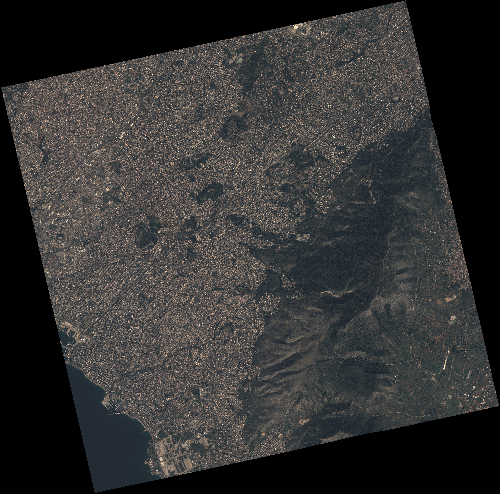
Start Date | 2019-03-05T09:22:05Z |
Stop Date | 2019-03-05T09:22:07Z |
Availability Time | 2019-03-05T09:22:07Z |
Instrument Short Name | HiRAIS |
Sensor Type | OPTICAL |
Operational mode | PSH |
Resolution | 0.75 |
Orbit | 25515 |
Satellite | GEOSAT-2 |
Product type | HRA_PSH_1C |
Orbit Direction | ASCENDING |
Scene Centre Longitude | E023 |
Scene Centre Latitude | N37 |
Illumination Azimuth Angle | 154.451954001 |
Illumination Elevation Angle | 42.6485 |
Footprint | 38.020238 23.660325 38.045165 23.830549 37.909537 23.864248 37.884610 23.694025 38.020238 23.660325 |
Product Size | 2888755724 |
Cloud Cover Percentage | 0 |
Acquisition Type | NOMINAL |
Bounding Box | 38.045165 23.660325 37.88461 23.660325 37.88461 23.864248 38.045165 23.864248 |
Original name | DE2_PSH_L1C_000000_20190305T092205_20190305T092207_DE2_25515_07C6 |