Static Map Catalogue - Full Metadata Record
Collection GEOSAT
GEOSAT ESA archive. More details here.
DE2_OPER_HRA_PSH_1C_20200404T085300_N47-981_E022-281_0000
Download Product | Browse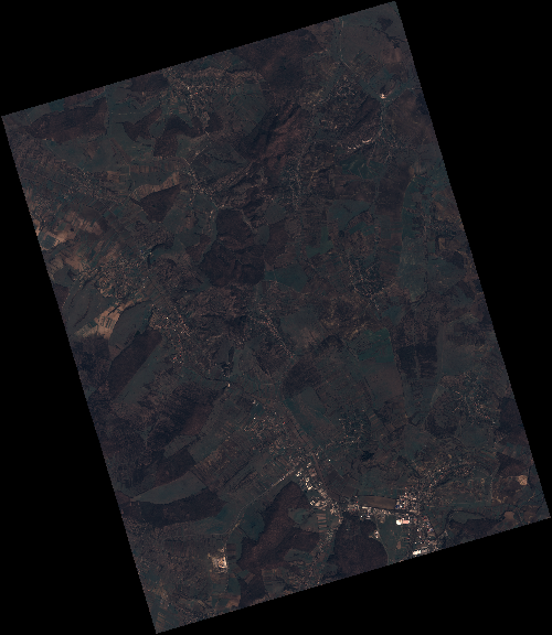
Start Date | 2020-04-04T08:53:00Z |
Stop Date | 2020-04-04T08:53:03Z |
Availability Time | 2020-04-04T08:53:03Z |
Instrument Short Name | HiRAIS |
Sensor Type | OPTICAL |
Operational mode | PSH |
Resolution | 0.75 |
Orbit | 31390 |
Satellite | GEOSAT-2 |
Product type | HRA_PSH_1C |
Orbit Direction | ASCENDING |
Scene Centre Longitude | E022 |
Scene Centre Latitude | N47 |
Illumination Azimuth Angle | 145.287018289 |
Illumination Elevation Angle | 43.6181 |
Footprint | 47.340529 22.868738 47.370808 23.035173 47.222034 23.094833 47.191755 22.928398 47.340529 22.868738 |
Product Size | 2605828270 |
Cloud Cover Percentage | 0 |
Acquisition Type | NOMINAL |
Bounding Box | 47.370808 22.868738 47.191755 22.868738 47.191755 23.094833 47.370808 23.094833 |
Original name | DE2_PSH_L1C_000000_20200404T085300_20200404T085303_DE2_31390_CDDA |