Static Map Catalogue - Full Metadata Record
Collection GEOSAT
GEOSAT ESA archive. More details here.
DE2_OPER_HRA_PSH_1C_20200404T085258_N47-032_E023-156_0000
Download Product | Browse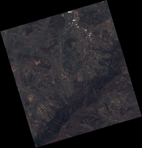
Start Date | 2020-04-04T08:52:58Z |
Stop Date | 2020-04-04T08:53:01Z |
Availability Time | 2020-04-04T08:53:01Z |
Instrument Short Name | HiRAIS |
Sensor Type | OPTICAL |
Operational mode | PSH |
Resolution | 0.75 |
Orbit | 31390 |
Satellite | GEOSAT-2 |
Product type | HRA_PSH_1C |
Orbit Direction | ASCENDING |
Scene Centre Longitude | E023 |
Scene Centre Latitude | N47 |
Illumination Azimuth Angle | 145.271914625 |
Illumination Elevation Angle | 43.7367 |
Footprint | 47.203236 22.923855 47.233412 23.089984 47.109586 23.140433 47.079410 22.974303 47.203236 22.923855 |
Product Size | 2200442439 |
Cloud Cover Percentage | 0 |
Acquisition Type | NOMINAL |
Bounding Box | 47.233412 22.923855 47.07941 22.923855 47.07941 23.140433 47.233412 23.140433 |
Original name | DE2_PSH_L1C_000000_20200404T085258_20200404T085301_DE2_31390_D009 |