Static Map Catalogue - Full Metadata Record
Collection GEOSAT
GEOSAT ESA archive. More details here.
DE2_OPER_HRA_PSH_1C_20200411T090511_N42-200_E023-790_0000
Download Product | Browse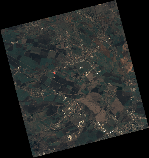
Start Date | 2020-04-11T09:05:11Z |
Stop Date | 2020-04-11T09:05:14Z |
Availability Time | 2020-04-11T09:05:14Z |
Instrument Short Name | HiRAIS |
Sensor Type | OPTICAL |
Operational mode | PSH |
Resolution | 0.75 |
Orbit | 31494 |
Satellite | GEOSAT-2 |
Product type | HRA_PSH_1C |
Orbit Direction | ASCENDING |
Scene Centre Longitude | E023 |
Scene Centre Latitude | N42 |
Illumination Azimuth Angle | 146.011762039 |
Illumination Elevation Angle | 51.2166 |
Footprint | 42.839505 23.105740 42.865067 23.257075 42.741768 23.295428 42.716205 23.144092 42.839505 23.105740 |
Product Size | 2105457591 |
Cloud Cover Percentage | 0 |
Acquisition Type | NOMINAL |
Bounding Box | 42.865067 23.10574 42.716205 23.10574 42.716205 23.295428 42.865067 23.295428 |
Original name | DE2_PSH_L1C_000000_20200411T090511_20200411T090514_DE2_31494_C1BE |