Static Map Catalogue - Full Metadata Record
Collection GEOSAT
GEOSAT ESA archive. More details here.
DE2_OPER_HRA_PSH_1C_20200317T085835_N42-355_E023-805_0000
Download Product | Browse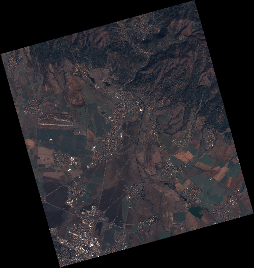
Start Date | 2020-03-17T08:58:35Z |
Stop Date | 2020-03-17T08:58:38Z |
Availability Time | 2020-03-17T08:58:38Z |
Instrument Short Name | HiRAIS |
Sensor Type | OPTICAL |
Operational mode | PSH |
Resolution | 0.75 |
Orbit | 31123 |
Satellite | GEOSAT-2 |
Product type | HRA_PSH_1C |
Orbit Direction | ASCENDING |
Scene Centre Longitude | E023 |
Scene Centre Latitude | N42 |
Illumination Azimuth Angle | 147.29520239 |
Illumination Elevation Angle | 41.0385 |
Footprint | 42.853324 23.258850 42.881172 23.411035 42.757693 23.452737 42.729845 23.300553 42.853324 23.258850 |
Product Size | 2137616104 |
Cloud Cover Percentage | 0 |
Acquisition Type | NOMINAL |
Bounding Box | 42.881172 23.25885 42.729845 23.25885 42.729845 23.452737 42.881172 23.452737 |
Original name | DE2_PSH_L1C_000000_20200317T085835_20200317T085838_DE2_31123_B0A0 |