Static Map Catalogue - Full Metadata Record
Collection GEOSAT
GEOSAT ESA archive. More details here.
DE2_OPER_HRA_PSH_1C_20200317T085833_N42-393_E023-693_0000
Download Product | Browse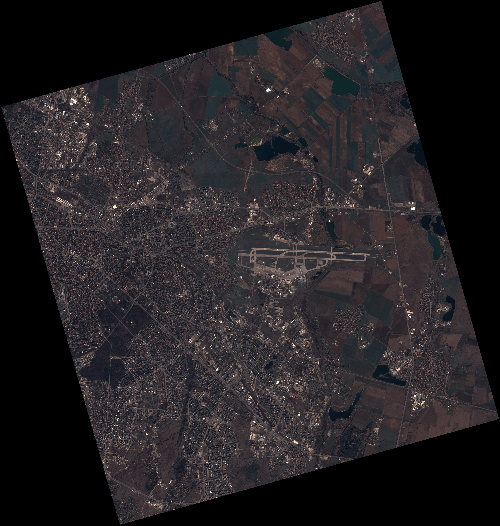
Start Date | 2020-03-17T08:58:33Z |
Stop Date | 2020-03-17T08:58:36Z |
Availability Time | 2020-03-17T08:58:36Z |
Instrument Short Name | HiRAIS |
Sensor Type | OPTICAL |
Operational mode | PSH |
Resolution | 0.75 |
Orbit | 31123 |
Satellite | GEOSAT-2 |
Product type | HRA_PSH_1C |
Orbit Direction | ASCENDING |
Scene Centre Longitude | E023 |
Scene Centre Latitude | N42 |
Illumination Azimuth Angle | 147.279817475 |
Illumination Elevation Angle | 41.1446 |
Footprint | 42.741309 23.296994 42.769129 23.448634 42.645891 23.490798 42.618071 23.339158 42.741309 23.296994 |
Product Size | 2164038619 |
Cloud Cover Percentage | 0 |
Acquisition Type | NOMINAL |
Bounding Box | 42.769129 23.296994 42.618071 23.296994 42.618071 23.490798 42.769129 23.490798 |
Original name | DE2_PSH_L1C_000000_20200317T085833_20200317T085836_DE2_31123_0EA4 |