Static Map Catalogue - Full Metadata Record
Collection GEOSAT
GEOSAT ESA archive. More details here.
DE2_OPER_HRA_PSH_1C_20210623T085229_N41-844_E020-720_0001
Download Product | Browse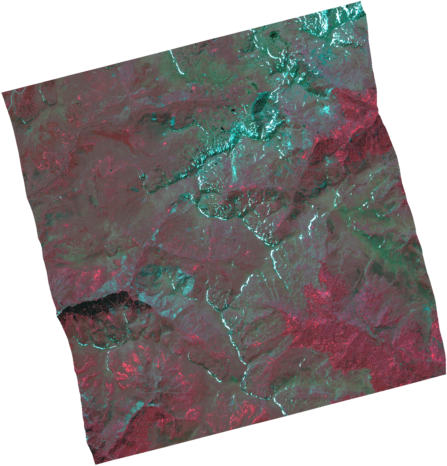
Start Date | 2021-06-23T08:52:29Z |
Stop Date | 2021-06-23T08:52:32Z |
Availability Time | 2021-06-23T08:52:32Z |
Instrument Short Name | HiRAIS |
Sensor Type | OPTICAL |
Operational mode | PSH |
Resolution | 1.0 |
Orbit | 37993 |
Satellite | GEOSAT-2 |
Product type | HRA_PSH_1C |
Orbit Direction | ASCENDING |
Scene Centre Longitude | |
Scene Centre Latitude | |
Illumination Azimuth Angle | 121.295798072 |
Illumination Elevation Angle | 61.0958 |
Footprint | 41.795296 20.825552 41.925047 20.781995 41.892669 20.615073 41.762918 20.658629 41.795296 20.825552 |
Product Size | 1429777840 |
Cloud Cover Percentage | 0 |
Acquisition Type | NOMINAL |
Bounding Box | 41.925047 20.615073 41.762918 20.615073 41.762918 20.825552 41.925047 20.825552 41.925047 20.615073 |
Original name | DE2_PSH_L1C_000000_20210623T085229_20210623T085232_DE2_37993_CB7B.zip |