Static Map Catalogue - Full Metadata Record
Collection GEOSAT
GEOSAT ESA archive. More details here.
DE2_OPER_HRA_PSH_1C_20210623T085227_N41-726_E020-760_0001
Download Product | Browse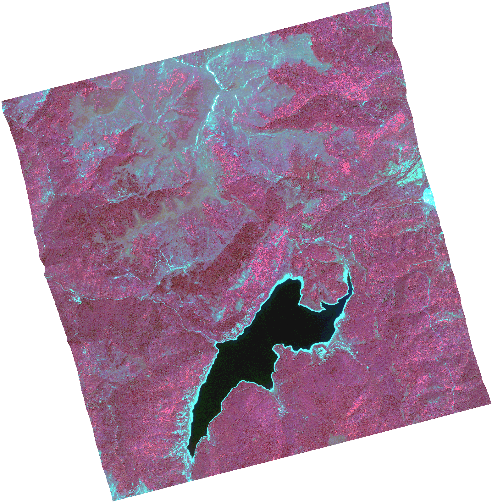
Start Date | 2021-06-23T08:52:27Z |
Stop Date | 2021-06-23T08:52:30Z |
Availability Time | 2021-06-23T08:52:30Z |
Instrument Short Name | HiRAIS |
Sensor Type | OPTICAL |
Operational mode | PSH |
Resolution | 1.0 |
Orbit | 37993 |
Satellite | GEOSAT-2 |
Product type | HRA_PSH_1C |
Orbit Direction | ASCENDING |
Scene Centre Longitude | |
Scene Centre Latitude | |
Illumination Azimuth Angle | 121.159792418 |
Illumination Elevation Angle | 61.178200000000004 |
Footprint | 41.677585 20.865428 41.807057 20.819685 41.775061 20.655611 41.645589 20.701354 41.677585 20.865428 |
Product Size | 1426878219 |
Cloud Cover Percentage | 0 |
Acquisition Type | NOMINAL |
Bounding Box | 41.807057 20.655611 41.645589 20.655611 41.645589 20.865428 41.807057 20.865428 41.807057 20.655611 |
Original name | DE2_PSH_L1C_000000_20210623T085227_20210623T085230_DE2_37993_FFD4.zip |