Static Map Catalogue - Full Metadata Record
Collection GEOSAT
GEOSAT ESA archive. More details here.
DE2_OPER_HRA_PSH_1C_20210623T085225_N41-609_E020-803_0001
Download Product | Browse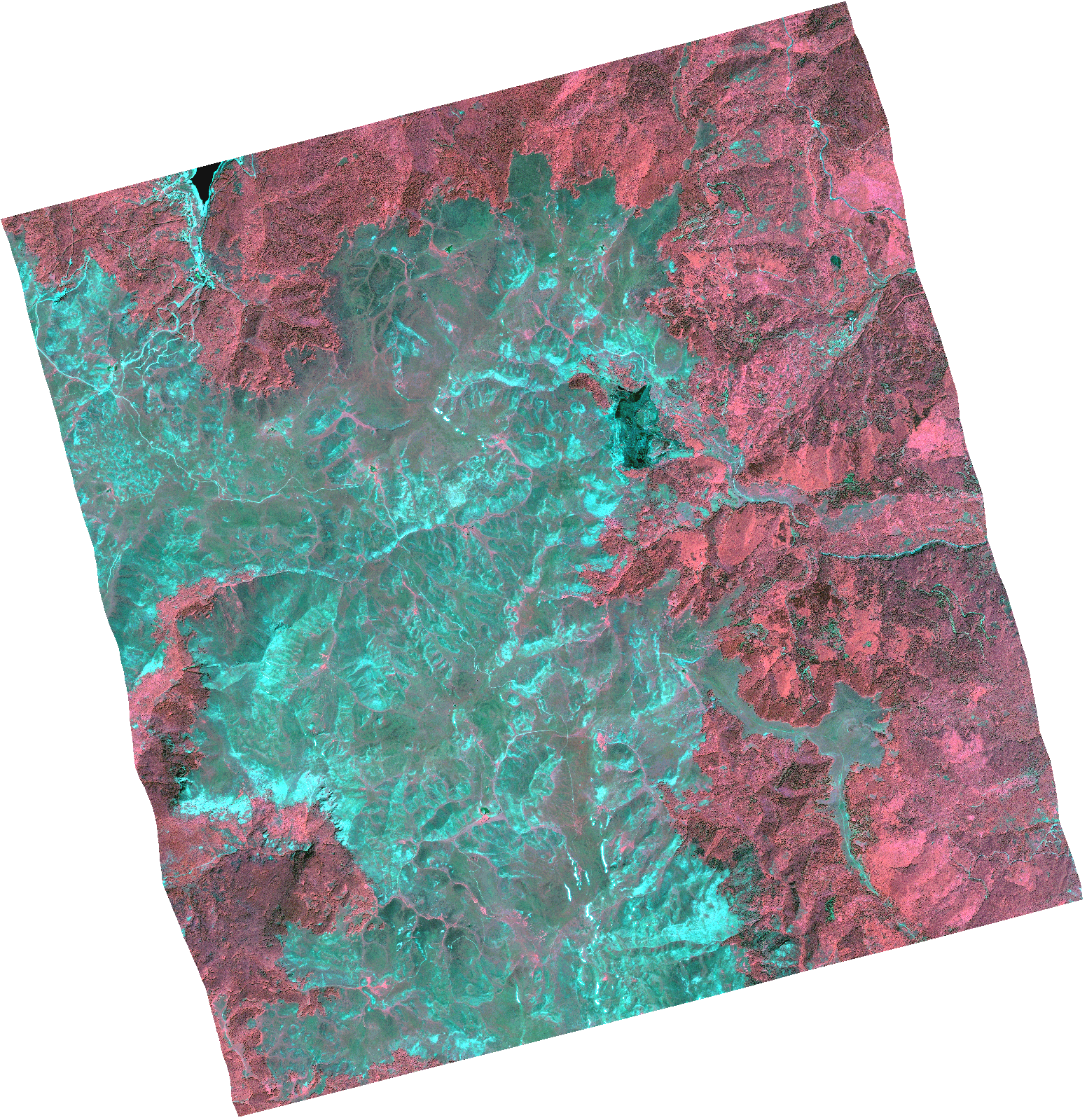
Start Date | 2021-06-23T08:52:25Z |
Stop Date | 2021-06-23T08:52:28Z |
Availability Time | 2021-06-23T08:52:28Z |
Instrument Short Name | HiRAIS |
Sensor Type | OPTICAL |
Operational mode | PSH |
Resolution | 1.0 |
Orbit | 37993 |
Satellite | GEOSAT-2 |
Product type | HRA_PSH_1C |
Orbit Direction | ASCENDING |
Scene Centre Longitude | |
Scene Centre Latitude | |
Illumination Azimuth Angle | 121.022713005 |
Illumination Elevation Angle | 61.2602 |
Footprint | 41.560471 20.907771 41.689156 20.860871 41.657904 20.698236 41.529219 20.745135 41.560471 20.907771 |
Product Size | 1425780569 |
Cloud Cover Percentage | 0 |
Acquisition Type | NOMINAL |
Bounding Box | 41.689156 20.698236 41.529219 20.698236 41.529219 20.907771 41.689156 20.907771 41.689156 20.698236 |
Original name | DE2_PSH_L1C_000000_20210623T085225_20210623T085228_DE2_37993_71D0.zip |