Static Map Catalogue - Full Metadata Record
Collection GEOSAT
GEOSAT ESA archive. More details here.
DE2_OPER_HRA_PSH_1C_20210623T085223_N41-515_E020-793_0001
Download Product | Browse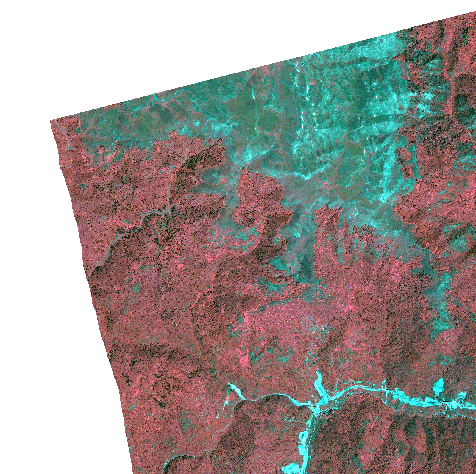
Start Date | 2021-06-23T08:52:23Z |
Stop Date | 2021-06-23T08:52:26Z |
Availability Time | 2021-06-23T08:52:26Z |
Instrument Short Name | HiRAIS |
Sensor Type | OPTICAL |
Operational mode | PSH |
Resolution | 1.0 |
Orbit | 37993 |
Satellite | GEOSAT-2 |
Product type | HRA_PSH_1C |
Orbit Direction | ASCENDING |
Scene Centre Longitude | |
Scene Centre Latitude | |
Illumination Azimuth Angle | 120.884799893 |
Illumination Elevation Angle | 61.342 |
Footprint | 41.465514 20.860503 41.566244 20.860286 41.566001 20.725587 41.465272 20.726012 41.465514 20.860503 |
Product Size | 610155166 |
Cloud Cover Percentage | 0 |
Acquisition Type | NOMINAL |
Bounding Box | 41.566244 20.725587 41.465272 20.725587 41.465272 20.860503 41.566244 20.860503 41.566244 20.725587 |
Original name | DE2_PSH_L1C_000000_20210623T085223_20210623T085226_DE2_37993_C262.zip |