Static Map Catalogue - Full Metadata Record
Collection GEOSAT
GEOSAT ESA archive. More details here.
DE2_OPER_HRA_PSH_1C_20210618T091125_N42-016_E020-802_0001
Download Product | Browse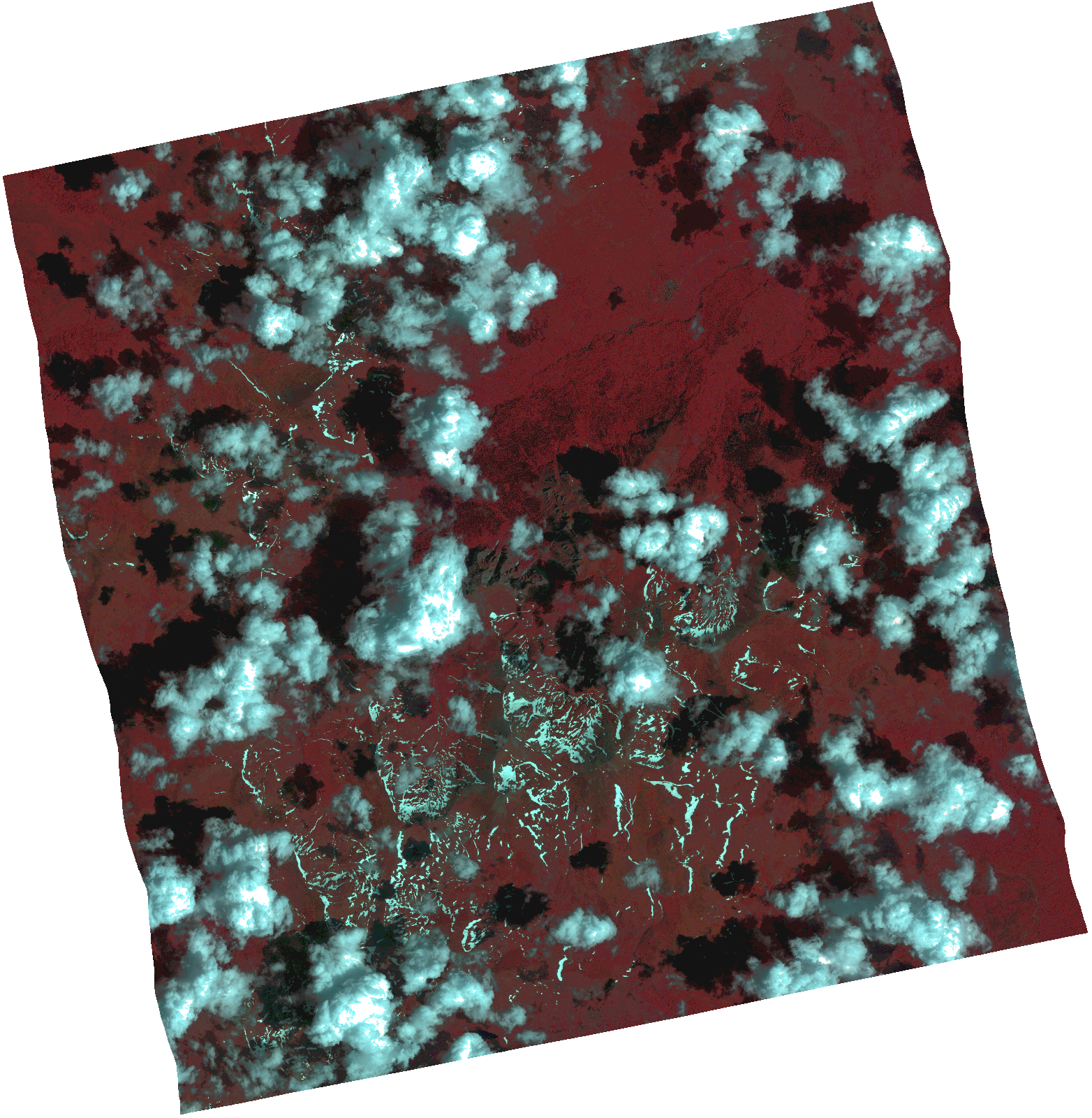
Start Date | 2021-06-18T09:11:25Z |
Stop Date | 2021-06-18T09:11:28Z |
Availability Time | 2021-06-18T09:11:28Z |
Instrument Short Name | HiRAIS |
Sensor Type | OPTICAL |
Operational mode | PSH |
Resolution | 1.0 |
Orbit | 37919 |
Satellite | GEOSAT-2 |
Product type | HRA_PSH_1C |
Orbit Direction | ASCENDING |
Scene Centre Longitude | |
Scene Centre Latitude | |
Illumination Azimuth Angle | 129.219233993 |
Illumination Elevation Angle | 64.0988 |
Footprint | 41.964248 20.902496 42.094035 20.867538 42.069011 20.70166 41.939224 20.736618 41.964248 20.902496 |
Product Size | 1524295918 |
Cloud Cover Percentage | 0 |
Acquisition Type | NOMINAL |
Bounding Box | 42.094035 20.70166 41.939224 20.70166 41.939224 20.902496 42.094035 20.902496 42.094035 20.70166 |
Original name | DE2_PSH_L1C_000000_20210618T091125_20210618T091128_DE2_37919_35BD.zip |