Static Map Catalogue - Full Metadata Record
Collection GEOSAT
GEOSAT ESA archive. More details here.
DE2_OPER_HRA_PSH_1C_20210618T091121_N41-782_E020-871_0001
Download Product | Browse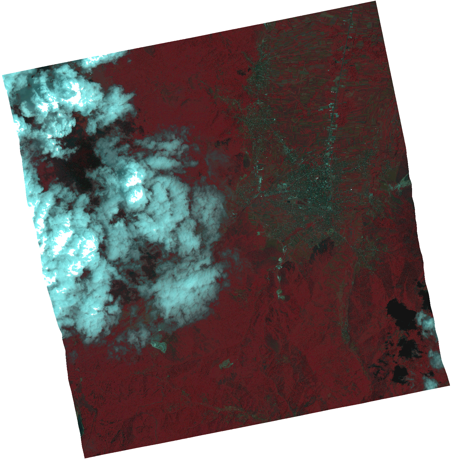
Start Date | 2021-06-18T09:11:21Z |
Stop Date | 2021-06-18T09:11:24Z |
Availability Time | 2021-06-18T09:11:24Z |
Instrument Short Name | HiRAIS |
Sensor Type | OPTICAL |
Operational mode | PSH |
Resolution | 1.0 |
Orbit | 37919 |
Satellite | GEOSAT-2 |
Product type | HRA_PSH_1C |
Orbit Direction | ASCENDING |
Scene Centre Longitude | |
Scene Centre Latitude | |
Illumination Azimuth Angle | 128.922416975 |
Illumination Elevation Angle | 64.2755 |
Footprint | 41.729746 20.972645 41.859238 20.936467 41.834238 20.770485 41.704745 20.806664 41.729746 20.972645 |
Product Size | 1516227789 |
Cloud Cover Percentage | 0 |
Acquisition Type | NOMINAL |
Bounding Box | 41.859238 20.770485 41.704745 20.770485 41.704745 20.972645 41.859238 20.972645 41.859238 20.770485 |
Original name | DE2_PSH_L1C_000000_20210618T091121_20210618T091124_DE2_37919_32DD.zip |