Static Map Catalogue - Full Metadata Record
Collection GEOSAT
GEOSAT ESA archive. More details here.
DE2_OPER_HRA_PSH_1C_20210618T091119_N41-664_E020-902_0001
Download Product | Browse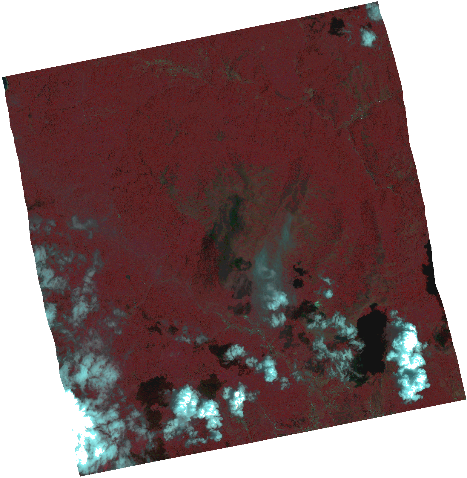
Start Date | 2021-06-18T09:11:19Z |
Stop Date | 2021-06-18T09:11:22Z |
Availability Time | 2021-06-18T09:11:22Z |
Instrument Short Name | HiRAIS |
Sensor Type | OPTICAL |
Operational mode | PSH |
Resolution | 1.0 |
Orbit | 37919 |
Satellite | GEOSAT-2 |
Product type | HRA_PSH_1C |
Orbit Direction | ASCENDING |
Scene Centre Longitude | |
Scene Centre Latitude | |
Illumination Azimuth Angle | 128.771957268 |
Illumination Elevation Angle | 64.3634 |
Footprint | 41.612126 21.003568 41.741665 20.968215 41.716535 20.802405 41.586997 20.837758 41.612126 21.003568 |
Product Size | 1495820737 |
Cloud Cover Percentage | 0 |
Acquisition Type | NOMINAL |
Bounding Box | 41.741665 20.802405 41.586997 20.802405 41.586997 21.003568 41.741665 21.003568 41.741665 20.802405 |
Original name | DE2_PSH_L1C_000000_20210618T091119_20210618T091122_DE2_37919_3213.zip |