Static Map Catalogue - Full Metadata Record
Collection GEOSAT
GEOSAT ESA archive. More details here.
DE2_OPER_HRA_PSH_1C_20210617T085558_N42-067_E020-924_0001
Download Product | Browse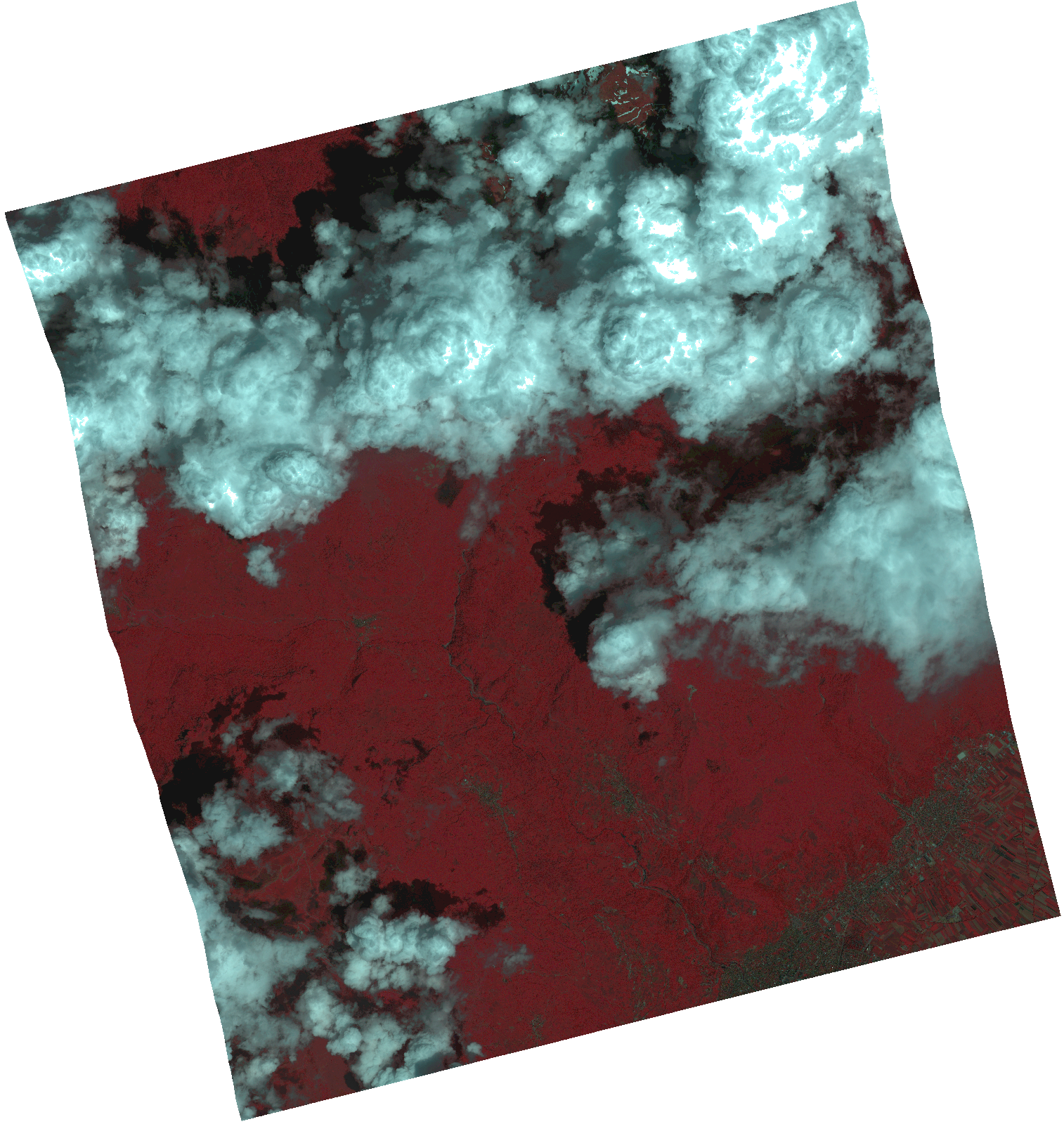
Start Date | 2021-06-17T08:55:58Z |
Stop Date | 2021-06-17T08:56:00Z |
Availability Time | 2021-06-17T08:56:00Z |
Instrument Short Name | HiRAIS |
Sensor Type | OPTICAL |
Operational mode | PSH |
Resolution | 1.0 |
Orbit | 37904 |
Satellite | GEOSAT-2 |
Product type | HRA_PSH_1C |
Orbit Direction | ASCENDING |
Scene Centre Longitude | |
Scene Centre Latitude | |
Illumination Azimuth Angle | 123.651618539 |
Illumination Elevation Angle | 61.8423 |
Footprint | 42.018919 21.020989 42.143627 20.980134 42.115288 20.828633 41.99058 20.869487 42.018919 21.020989 |
Product Size | 1396791175 |
Cloud Cover Percentage | 0 |
Acquisition Type | NOMINAL |
Bounding Box | 42.143627 20.828633 41.99058 20.828633 41.99058 21.020989 42.143627 21.020989 42.143627 20.828633 |
Original name | DE2_PSH_L1C_000000_20210617T085558_20210617T085600_DE2_37904_9526.zip |