Static Map Catalogue - Full Metadata Record
Collection GEOSAT
GEOSAT ESA archive. More details here.
DE2_OPER_HRA_PSH_1C_20210617T085551_N41-659_E021-021_0001
Download Product | Browse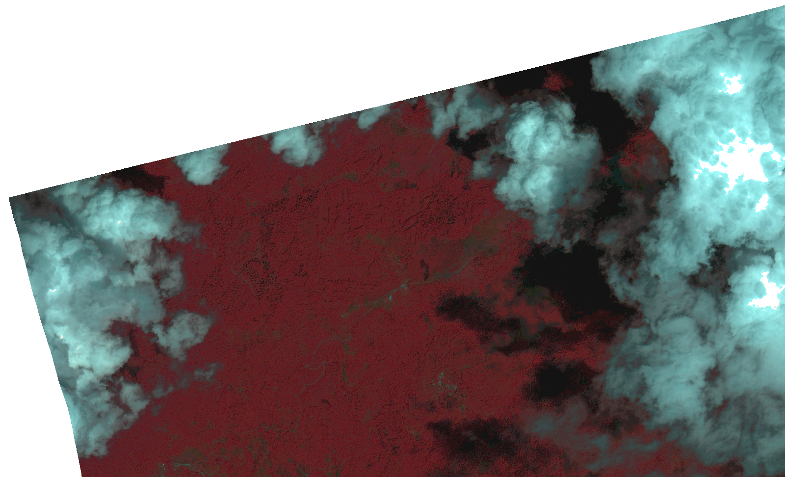
Start Date | 2021-06-17T08:55:51Z |
Stop Date | 2021-06-17T08:55:53Z |
Availability Time | 2021-06-17T08:55:53Z |
Instrument Short Name | HiRAIS |
Sensor Type | OPTICAL |
Operational mode | PSH |
Resolution | 1.0 |
Orbit | 37904 |
Satellite | GEOSAT-2 |
Product type | HRA_PSH_1C |
Orbit Direction | ASCENDING |
Scene Centre Longitude | |
Scene Centre Latitude | |
Illumination Azimuth Angle | 123.116822302 |
Illumination Elevation Angle | 62.166799999999995 |
Footprint | 41.641117 21.062283 41.678614 21.062319 41.678629 20.980008 41.641132 20.98002 41.641117 21.062283 |
Product Size | 163050854 |
Cloud Cover Percentage | 0 |
Acquisition Type | NOMINAL |
Bounding Box | 41.678629 20.980008 41.641117 20.980008 41.641117 21.062319 41.678629 21.062319 41.678629 20.980008 |
Original name | DE2_PSH_L1C_000000_20210617T085551_20210617T085553_DE2_37904_9A2E.zip |