Static Map Catalogue - Full Metadata Record
Collection GEOSAT
GEOSAT ESA archive. More details here.
DE2_OPER_HRA_PSH_1C_20210610T084357_N42-125_E021-135_0001
Download Product | Browse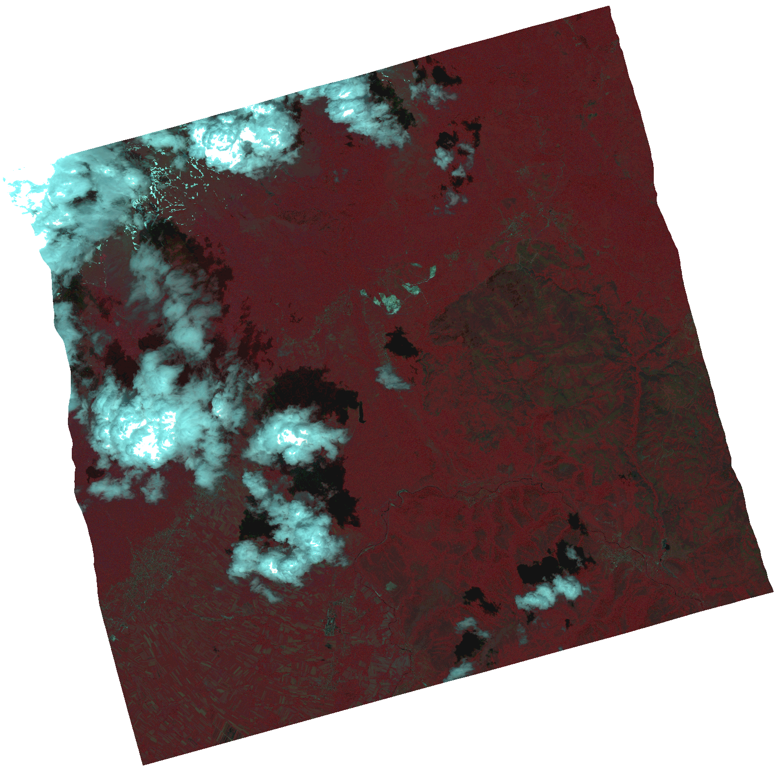
Start Date | 2021-06-10T08:43:57Z |
Stop Date | 2021-06-10T08:44:00Z |
Availability Time | 2021-06-10T08:44:00Z |
Instrument Short Name | HiRAIS |
Sensor Type | OPTICAL |
Operational mode | PSH |
Resolution | 1.0 |
Orbit | 37800 |
Satellite | GEOSAT-2 |
Product type | HRA_PSH_1C |
Orbit Direction | ASCENDING |
Scene Centre Longitude | |
Scene Centre Latitude | |
Illumination Azimuth Angle | 120.881272795 |
Illumination Elevation Angle | 60.0178 |
Footprint | 42.032785 21.260114 42.217803 21.260872 42.218099 21.010808 42.033079 21.010776 42.032785 21.260114 |
Product Size | 1979877972 |
Cloud Cover Percentage | 0 |
Acquisition Type | NOMINAL |
Bounding Box | 42.218099 21.010776 42.032785 21.010776 42.032785 21.260872 42.218099 21.260872 42.218099 21.010776 |
Original name | DE2_PSH_L1C_000000_20210610T084357_20210610T084400_DE2_37800_F3CA.zip |