Static Map Catalogue - Full Metadata Record
Collection GEOSAT
GEOSAT ESA archive. More details here.
DE2_OPER_HRA_PSH_1C_20210610T084355_N41-998_E021-180_0001
Download Product | Browse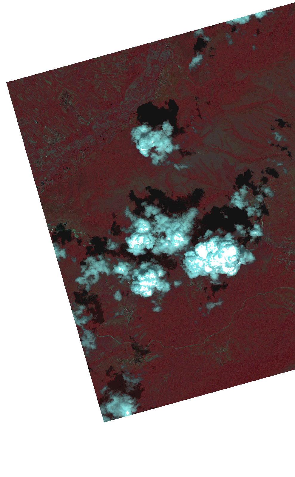
Start Date | 2021-06-10T08:43:55Z |
Stop Date | 2021-06-10T08:43:58Z |
Availability Time | 2021-06-10T08:43:58Z |
Instrument Short Name | HiRAIS |
Sensor Type | OPTICAL |
Operational mode | PSH |
Resolution | 1.0 |
Orbit | 37800 |
Satellite | GEOSAT-2 |
Product type | HRA_PSH_1C |
Orbit Direction | ASCENDING |
Scene Centre Longitude | |
Scene Centre Latitude | |
Illumination Azimuth Angle | 120.745150407 |
Illumination Elevation Angle | 60.109 |
Footprint | 41.94854 21.3082 42.088693 21.252508 42.047966 21.053402 41.907813 21.109094 41.94854 21.3082 |
Product Size | 1330769679 |
Cloud Cover Percentage | 0 |
Acquisition Type | NOMINAL |
Bounding Box | 42.088693 21.053402 41.907813 21.053402 41.907813 21.3082 42.088693 21.3082 42.088693 21.053402 |
Original name | DE2_PSH_L1C_000000_20210610T084355_20210610T084358_DE2_37800_B331.zip |