Static Map Catalogue - Full Metadata Record
Collection GEOSAT
GEOSAT ESA archive. More details here.
DE2_OPER_HRA_PSH_1C_20210610T084353_N41-882_E021-175_0001
Download Product | Browse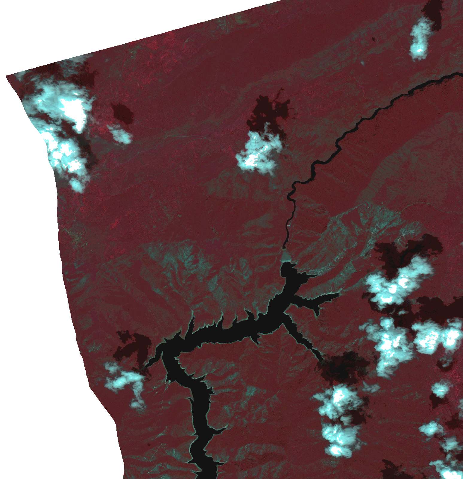
Start Date | 2021-06-10T08:43:53Z |
Stop Date | 2021-06-10T08:43:55Z |
Availability Time | 2021-06-10T08:43:55Z |
Instrument Short Name | HiRAIS |
Sensor Type | OPTICAL |
Operational mode | PSH |
Resolution | 1.0 |
Orbit | 37800 |
Satellite | GEOSAT-2 |
Product type | HRA_PSH_1C |
Orbit Direction | ASCENDING |
Scene Centre Longitude | |
Scene Centre Latitude | |
Illumination Azimuth Angle | 120.60819138 |
Illumination Elevation Angle | 60.1997 |
Footprint | 41.826773 21.247863 41.938628 21.248296 41.93885 21.103406 41.826994 21.103225 41.826773 21.247863 |
Product Size | 881884786 |
Cloud Cover Percentage | 0 |
Acquisition Type | NOMINAL |
Bounding Box | 41.93885 21.103225 41.826773 21.103225 41.826773 21.248296 41.93885 21.248296 41.93885 21.103225 |
Original name | DE2_PSH_L1C_000000_20210610T084353_20210610T084355_DE2_37800_F8F8.zip |