Static Map Catalogue - Full Metadata Record
Collection GEOSAT
GEOSAT ESA archive. More details here.
DE2_OPER_HRA_PSH_1C_20210606T091813_N41-851_E020-682_0001
Download Product | Browse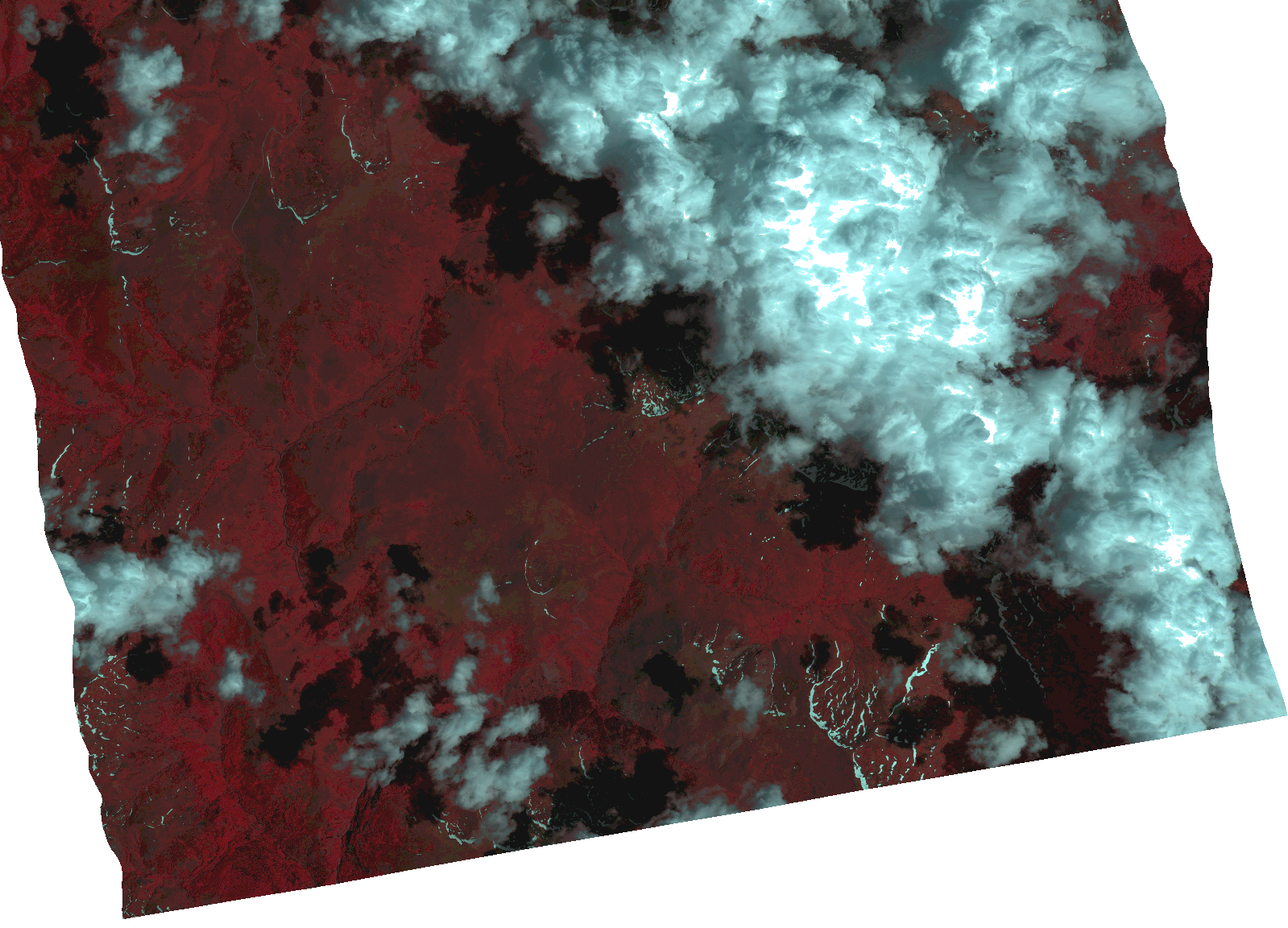
Start Date | 2021-06-06T09:18:13Z |
Stop Date | 2021-06-06T09:18:16Z |
Availability Time | 2021-06-06T09:18:16Z |
Instrument Short Name | HiRAIS |
Sensor Type | OPTICAL |
Operational mode | PSH |
Resolution | 1.0 |
Orbit | 37741 |
Satellite | GEOSAT-2 |
Product type | HRA_PSH_1C |
Orbit Direction | ASCENDING |
Scene Centre Longitude | |
Scene Centre Latitude | |
Illumination Azimuth Angle | 133.758925082 |
Illumination Elevation Angle | 64.83160000000001 |
Footprint | 41.794316 20.790176 41.909738 20.789798 41.909146 20.57538 41.793725 20.576143 41.794316 20.790176 |
Product Size | 1345125833 |
Cloud Cover Percentage | 0 |
Acquisition Type | NOMINAL |
Bounding Box | 41.909738 20.57538 41.793725 20.57538 41.793725 20.790176 41.909738 20.790176 41.909738 20.57538 |
Original name | DE2_PSH_L1C_000000_20210606T091813_20210606T091816_DE2_37741_4D64.zip |