Static Map Catalogue - Full Metadata Record
Collection GEOSAT
GEOSAT ESA archive. More details here.
DE2_OPER_HRA_PSH_1C_20210606T091811_N41-751_E020-709_0001
Download Product | Browse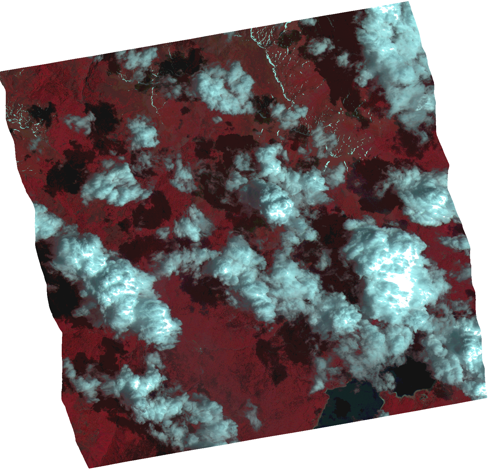
Start Date | 2021-06-06T09:18:11Z |
Stop Date | 2021-06-06T09:18:13Z |
Availability Time | 2021-06-06T09:18:13Z |
Instrument Short Name | HiRAIS |
Sensor Type | OPTICAL |
Operational mode | PSH |
Resolution | 1.0 |
Orbit | 37741 |
Satellite | GEOSAT-2 |
Product type | HRA_PSH_1C |
Orbit Direction | ASCENDING |
Scene Centre Longitude | |
Scene Centre Latitude | |
Illumination Azimuth Angle | 133.604899406 |
Illumination Elevation Angle | 64.9316 |
Footprint | 41.694225 20.823907 41.833229 20.783939 41.807878 20.594837 41.668875 20.634805 41.694225 20.823907 |
Product Size | 1900581365 |
Cloud Cover Percentage | 0 |
Acquisition Type | NOMINAL |
Bounding Box | 41.833229 20.594837 41.668875 20.594837 41.668875 20.823907 41.833229 20.823907 41.833229 20.594837 |
Original name | DE2_PSH_L1C_000000_20210606T091811_20210606T091813_DE2_37741_B9C4.zip |