Static Map Catalogue - Full Metadata Record
Collection GEOSAT
GEOSAT ESA archive. More details here.
DE2_OPER_HRA_PSH_1C_20210606T091809_N41-624_E020-741_0001
Download Product | Browse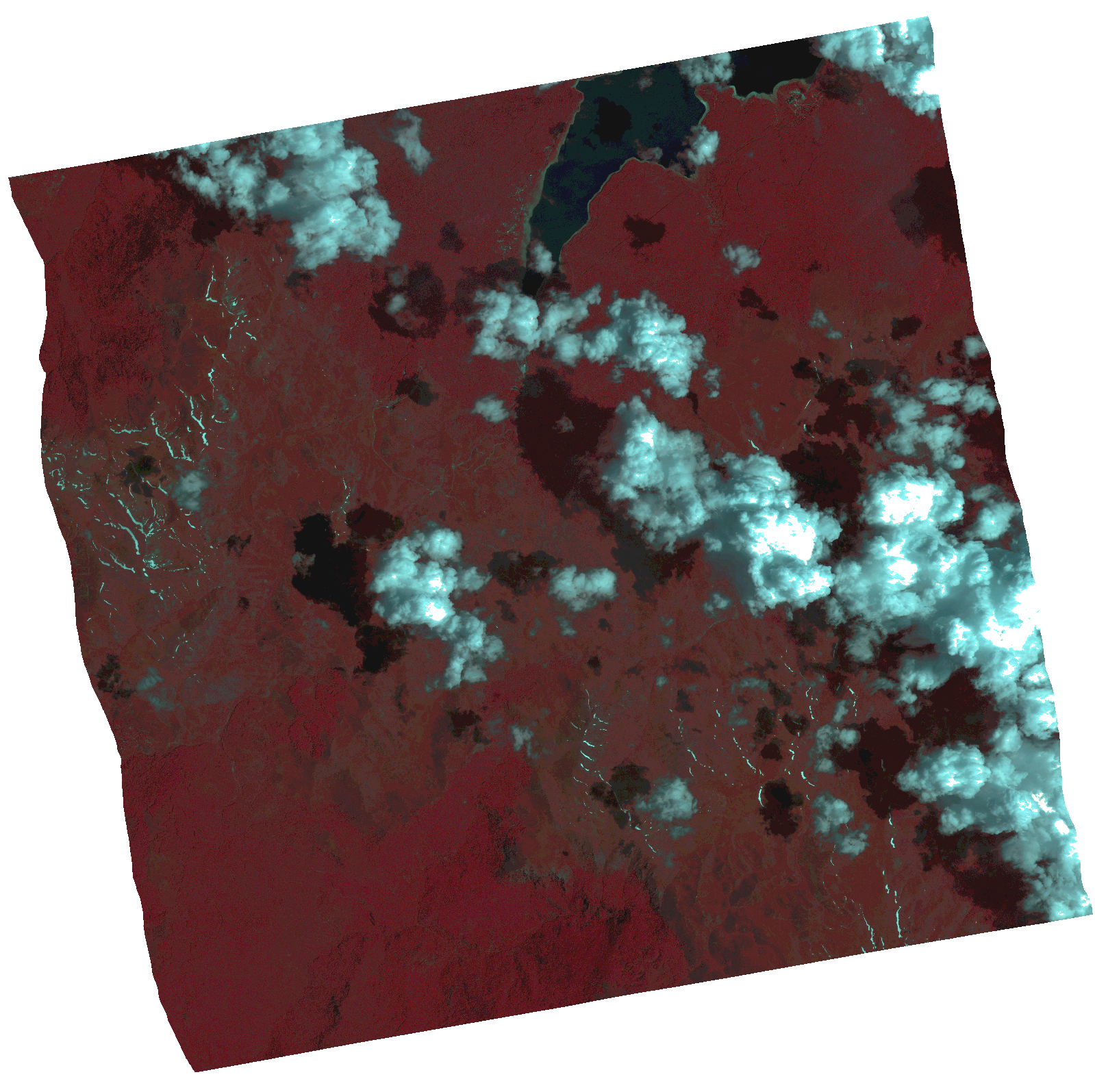
Start Date | 2021-06-06T09:18:09Z |
Stop Date | 2021-06-06T09:18:11Z |
Availability Time | 2021-06-06T09:18:11Z |
Instrument Short Name | HiRAIS |
Sensor Type | OPTICAL |
Operational mode | PSH |
Resolution | 1.0 |
Orbit | 37741 |
Satellite | GEOSAT-2 |
Product type | HRA_PSH_1C |
Orbit Direction | ASCENDING |
Scene Centre Longitude | |
Scene Centre Latitude | |
Illumination Azimuth Angle | 133.449527415 |
Illumination Elevation Angle | 65.0312 |
Footprint | 41.567159 20.85141 41.70689 20.817517 41.681797 20.630628 41.542066 20.66452 41.567159 20.85141 |
Product Size | 1822881625 |
Cloud Cover Percentage | 0 |
Acquisition Type | NOMINAL |
Bounding Box | 41.70689 20.630628 41.542066 20.630628 41.542066 20.85141 41.70689 20.85141 41.70689 20.630628 |
Original name | DE2_PSH_L1C_000000_20210606T091809_20210606T091811_DE2_37741_9CBE.zip |