Static Map Catalogue - Full Metadata Record
Collection GEOSAT
GEOSAT ESA archive. More details here.
DE2_OPER_HRA_PSH_1C_20210605T090242_N41-698_E020-594_0001
Download Product | Browse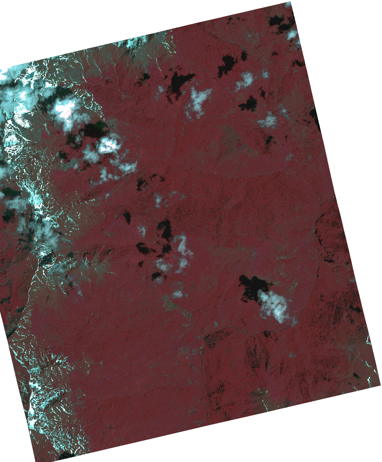
Start Date | 2021-06-05T09:02:42Z |
Stop Date | 2021-06-05T09:02:44Z |
Availability Time | 2021-06-05T09:02:44Z |
Instrument Short Name | HiRAIS |
Sensor Type | OPTICAL |
Operational mode | PSH |
Resolution | 1.0 |
Orbit | 37726 |
Satellite | GEOSAT-2 |
Product type | HRA_PSH_1C |
Orbit Direction | ASCENDING |
Scene Centre Longitude | |
Scene Centre Latitude | |
Illumination Azimuth Angle | 127.118594818 |
Illumination Elevation Angle | 62.6388 |
Footprint | 41.624755 20.676852 41.772443 20.676112 41.771866 20.512759 41.624182 20.513873 41.624755 20.676852 |
Product Size | 1225711067 |
Cloud Cover Percentage | 0 |
Acquisition Type | NOMINAL |
Bounding Box | 41.772443 20.512759 41.624182 20.512759 41.624182 20.676852 41.772443 20.676852 41.772443 20.512759 |
Original name | DE2_PSH_L1C_000000_20210605T090242_20210605T090244_DE2_37726_3A3A.zip |