Static Map Catalogue - Full Metadata Record
Collection GEOSAT
GEOSAT ESA archive. More details here.
DE2_OPER_HRA_PSH_1C_20210605T090240_N41-586_E020-618_0001
Download Product | Browse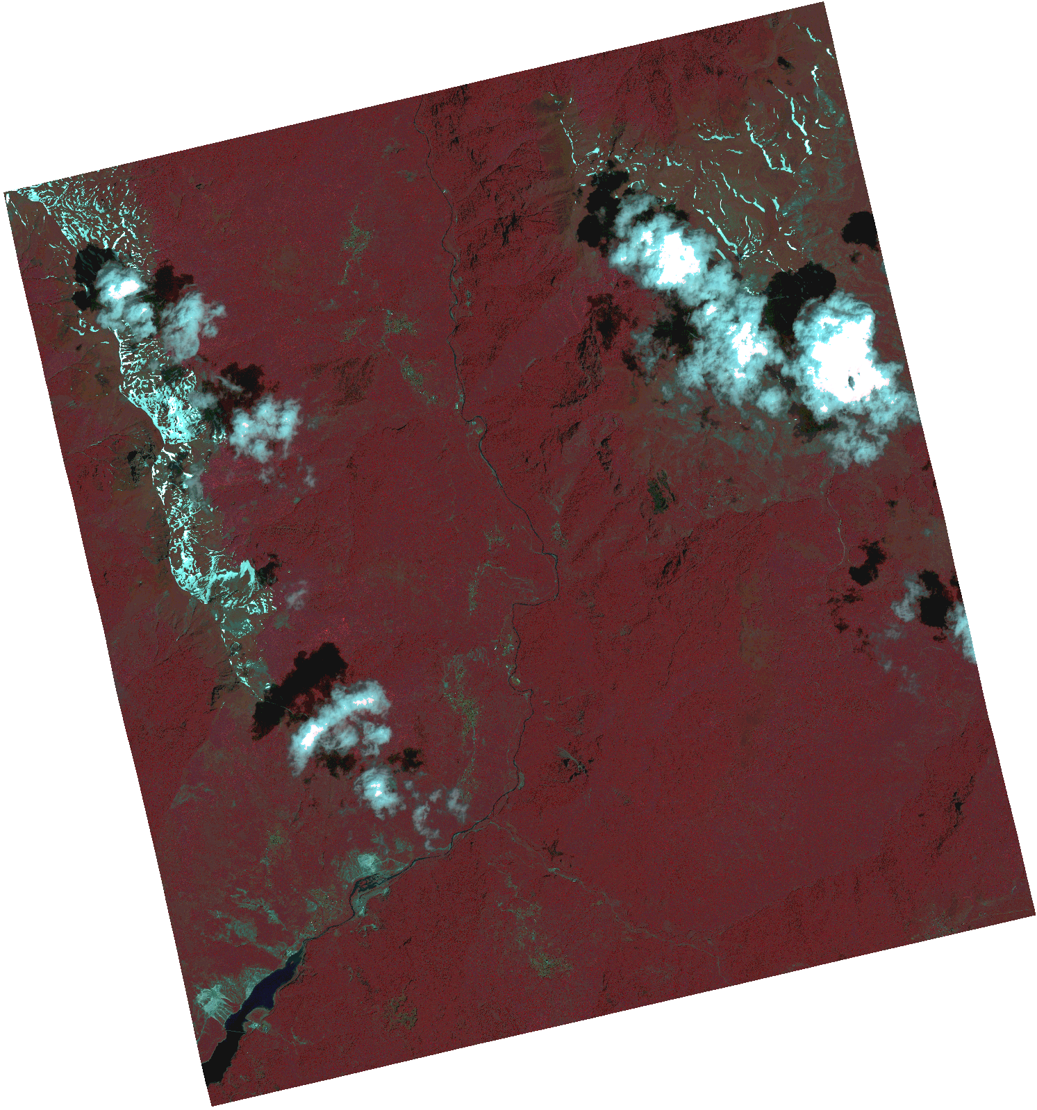
Start Date | 2021-06-05T09:02:40Z |
Stop Date | 2021-06-05T09:02:42Z |
Availability Time | 2021-06-05T09:02:42Z |
Instrument Short Name | HiRAIS |
Sensor Type | OPTICAL |
Operational mode | PSH |
Resolution | 1.0 |
Orbit | 37726 |
Satellite | GEOSAT-2 |
Product type | HRA_PSH_1C |
Orbit Direction | ASCENDING |
Scene Centre Longitude | |
Scene Centre Latitude | |
Illumination Azimuth Angle | 126.989142047 |
Illumination Elevation Angle | 62.7225 |
Footprint | 41.537958 20.711161 41.660628 20.672541 41.634487 20.52574 41.511817 20.56436 41.537958 20.711161 |
Product Size | 1281004116 |
Cloud Cover Percentage | 0 |
Acquisition Type | NOMINAL |
Bounding Box | 41.660628 20.52574 41.511817 20.52574 41.511817 20.711161 41.660628 20.711161 41.660628 20.52574 |
Original name | DE2_PSH_L1C_000000_20210605T090240_20210605T090242_DE2_37726_06F4.zip |