Static Map Catalogue - Full Metadata Record
Collection GEOSAT
GEOSAT ESA archive. More details here.
DE2_OPER_HRA_PSH_1C_20210605T090238_N41-521_E020-686_0001
Download Product | Browse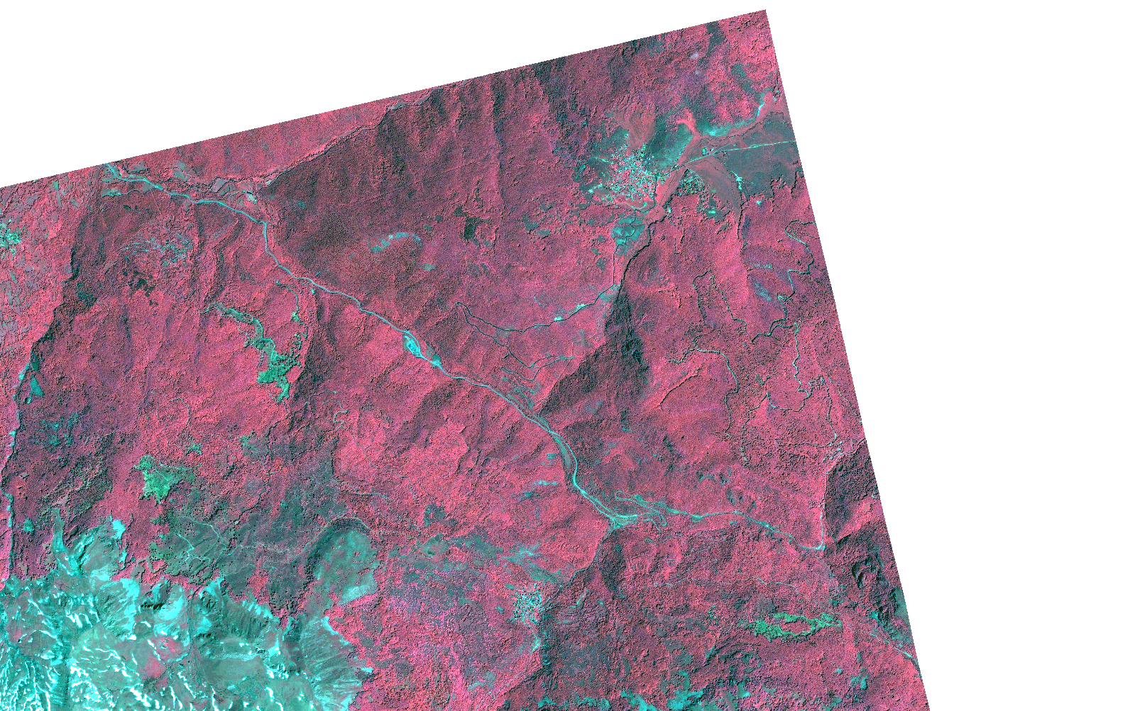
Start Date | 2021-06-05T09:02:38Z |
Stop Date | 2021-06-05T09:02:40Z |
Availability Time | 2021-06-05T09:02:40Z |
Instrument Short Name | HiRAIS |
Sensor Type | OPTICAL |
Operational mode | PSH |
Resolution | 1.0 |
Orbit | 37726 |
Satellite | GEOSAT-2 |
Product type | HRA_PSH_1C |
Orbit Direction | ASCENDING |
Scene Centre Longitude | |
Scene Centre Latitude | |
Illumination Azimuth Angle | 126.858493736 |
Illumination Elevation Angle | 62.8059 |
Footprint | 41.493208 20.747303 41.550162 20.747081 41.549832 20.62623 41.49288 20.626557 41.493208 20.747303 |
Product Size | 298628996 |
Cloud Cover Percentage | 0 |
Acquisition Type | NOMINAL |
Bounding Box | 41.550162 20.62623 41.49288 20.62623 41.49288 20.747303 41.550162 20.747303 41.550162 20.62623 |
Original name | DE2_PSH_L1C_000000_20210605T090238_20210605T090240_DE2_37726_5326.zip |