Static Map Catalogue - Full Metadata Record
Collection GEOSAT
GEOSAT ESA archive. More details here.
DE2_OPER_HRA_PSH_1C_20210604T084721_N42-141_E021-062_0001
Download Product | Browse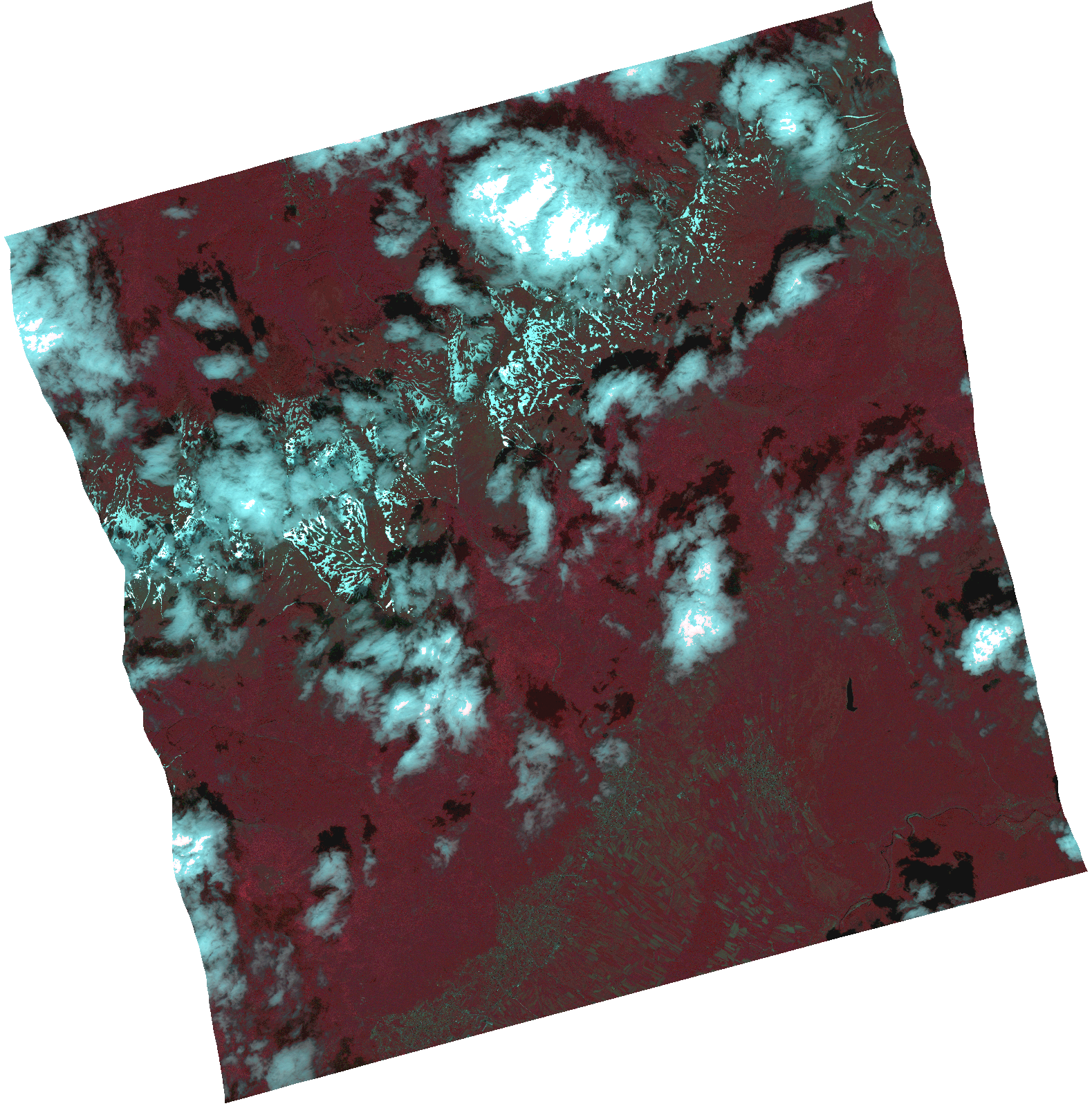
Start Date | 2021-06-04T08:47:21Z |
Stop Date | 2021-06-04T08:47:23Z |
Availability Time | 2021-06-04T08:47:23Z |
Instrument Short Name | HiRAIS |
Sensor Type | OPTICAL |
Operational mode | PSH |
Resolution | 1.0 |
Orbit | 37711 |
Satellite | GEOSAT-2 |
Product type | HRA_PSH_1C |
Orbit Direction | ASCENDING |
Scene Centre Longitude | |
Scene Centre Latitude | |
Illumination Azimuth Angle | 123.107713084 |
Illumination Elevation Angle | 60.2746 |
Footprint | 42.09156 21.176541 42.227691 21.132583 42.190932 20.94858 42.054801 20.992537 42.09156 21.176541 |
Product Size | 1779273304 |
Cloud Cover Percentage | 0 |
Acquisition Type | NOMINAL |
Bounding Box | 42.227691 20.94858 42.054801 20.94858 42.054801 21.176541 42.227691 21.176541 42.227691 20.94858 |
Original name | DE2_PSH_L1C_000000_20210604T084721_20210604T084723_DE2_37711_AB7B.zip |