Static Map Catalogue - Full Metadata Record
Collection GEOSAT
GEOSAT ESA archive. More details here.
DE2_OPER_HRA_PSH_1C_20210604T084719_N42-018_E021-105_0001
Download Product | Browse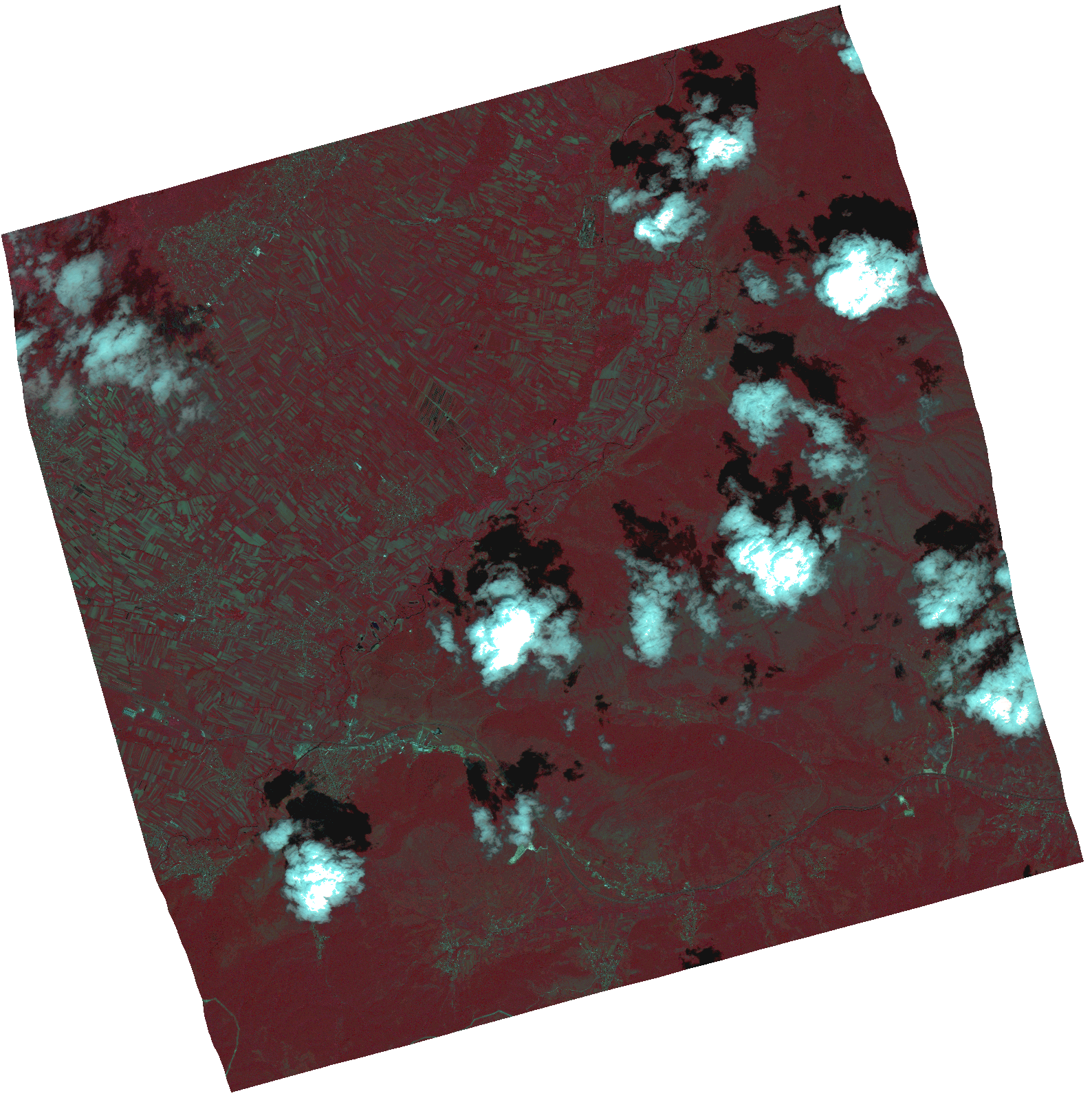
Start Date | 2021-06-04T08:47:19Z |
Stop Date | 2021-06-04T08:47:21Z |
Availability Time | 2021-06-04T08:47:21Z |
Instrument Short Name | HiRAIS |
Sensor Type | OPTICAL |
Operational mode | PSH |
Resolution | 1.0 |
Orbit | 37711 |
Satellite | GEOSAT-2 |
Product type | HRA_PSH_1C |
Orbit Direction | ASCENDING |
Scene Centre Longitude | |
Scene Centre Latitude | |
Illumination Azimuth Angle | 122.97992262 |
Illumination Elevation Angle | 60.3652 |
Footprint | 41.969044 21.223317 42.104054 21.171729 42.067296 20.987715 41.932285 21.039302 41.969044 21.223317 |
Product Size | 1778558633 |
Cloud Cover Percentage | 0 |
Acquisition Type | NOMINAL |
Bounding Box | 42.104054 20.987715 41.932285 20.987715 41.932285 21.223317 42.104054 21.223317 42.104054 20.987715 |
Original name | DE2_PSH_L1C_000000_20210604T084719_20210604T084721_DE2_37711_5CF1.zip |