Static Map Catalogue - Full Metadata Record
Collection GEOSAT
GEOSAT ESA archive. More details here.
DE2_OPER_HRA_PSH_1C_20210604T084717_N41-896_E021-154_0001
Download Product | Browse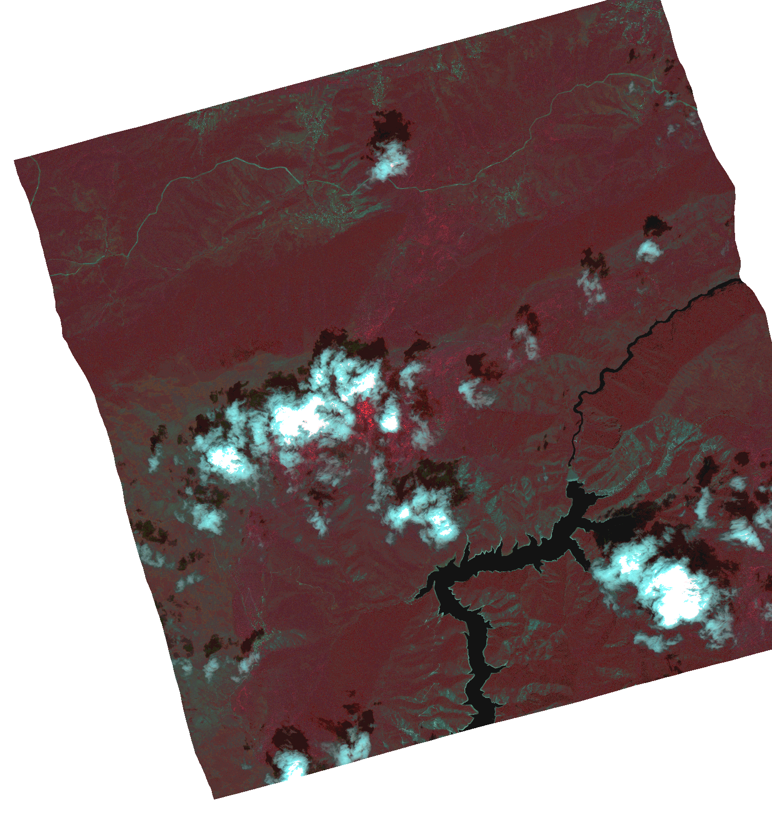
Start Date | 2021-06-04T08:47:17Z |
Stop Date | 2021-06-04T08:47:19Z |
Availability Time | 2021-06-04T08:47:19Z |
Instrument Short Name | HiRAIS |
Sensor Type | OPTICAL |
Operational mode | PSH |
Resolution | 1.0 |
Orbit | 37711 |
Satellite | GEOSAT-2 |
Product type | HRA_PSH_1C |
Orbit Direction | ASCENDING |
Scene Centre Longitude | |
Scene Centre Latitude | |
Illumination Azimuth Angle | 122.851571067 |
Illumination Elevation Angle | 60.4553 |
Footprint | 41.84671 21.270903 41.98142 21.217444 41.945312 21.037387 41.810603 21.090846 41.84671 21.270903 |
Product Size | 1687159181 |
Cloud Cover Percentage | 0 |
Acquisition Type | NOMINAL |
Bounding Box | 41.98142 21.037387 41.810603 21.037387 41.810603 21.270903 41.98142 21.270903 41.98142 21.037387 |
Original name | DE2_PSH_L1C_000000_20210604T084717_20210604T084719_DE2_37711_8D12.zip |