Static Map Catalogue - Full Metadata Record
Collection GEOSAT
GEOSAT ESA archive. More details here.
DE2_OPER_HRA_PSH_1C_20210604T084715_N41-832_E021-184_0001
Download Product | Browse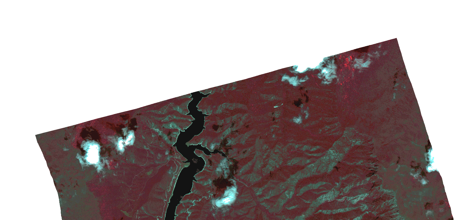
Start Date | 2021-06-04T08:47:15Z |
Stop Date | 2021-06-04T08:47:17Z |
Availability Time | 2021-06-04T08:47:17Z |
Instrument Short Name | HiRAIS |
Sensor Type | OPTICAL |
Operational mode | PSH |
Resolution | 1.0 |
Orbit | 37711 |
Satellite | GEOSAT-2 |
Product type | HRA_PSH_1C |
Orbit Direction | ASCENDING |
Scene Centre Longitude | |
Scene Centre Latitude | |
Illumination Azimuth Angle | 122.721601808 |
Illumination Elevation Angle | 60.5457 |
Footprint | 41.790626 21.301353 41.873903 21.301744 41.87428 21.068064 41.791001 21.067976 41.790626 21.301353 |
Product Size | 656140023 |
Cloud Cover Percentage | 0 |
Acquisition Type | NOMINAL |
Bounding Box | 41.87428 21.067976 41.790626 21.067976 41.790626 21.301744 41.87428 21.301744 41.87428 21.067976 |
Original name | DE2_PSH_L1C_000000_20210604T084715_20210604T084717_DE2_37711_8354.zip |