Static Map Catalogue - Full Metadata Record
Collection GEOSAT
GEOSAT ESA archive. More details here.
DE2_OPER_HRA_PSH_1C_20210219T085542_N42-118_E021-019_0001
Download Product | Browse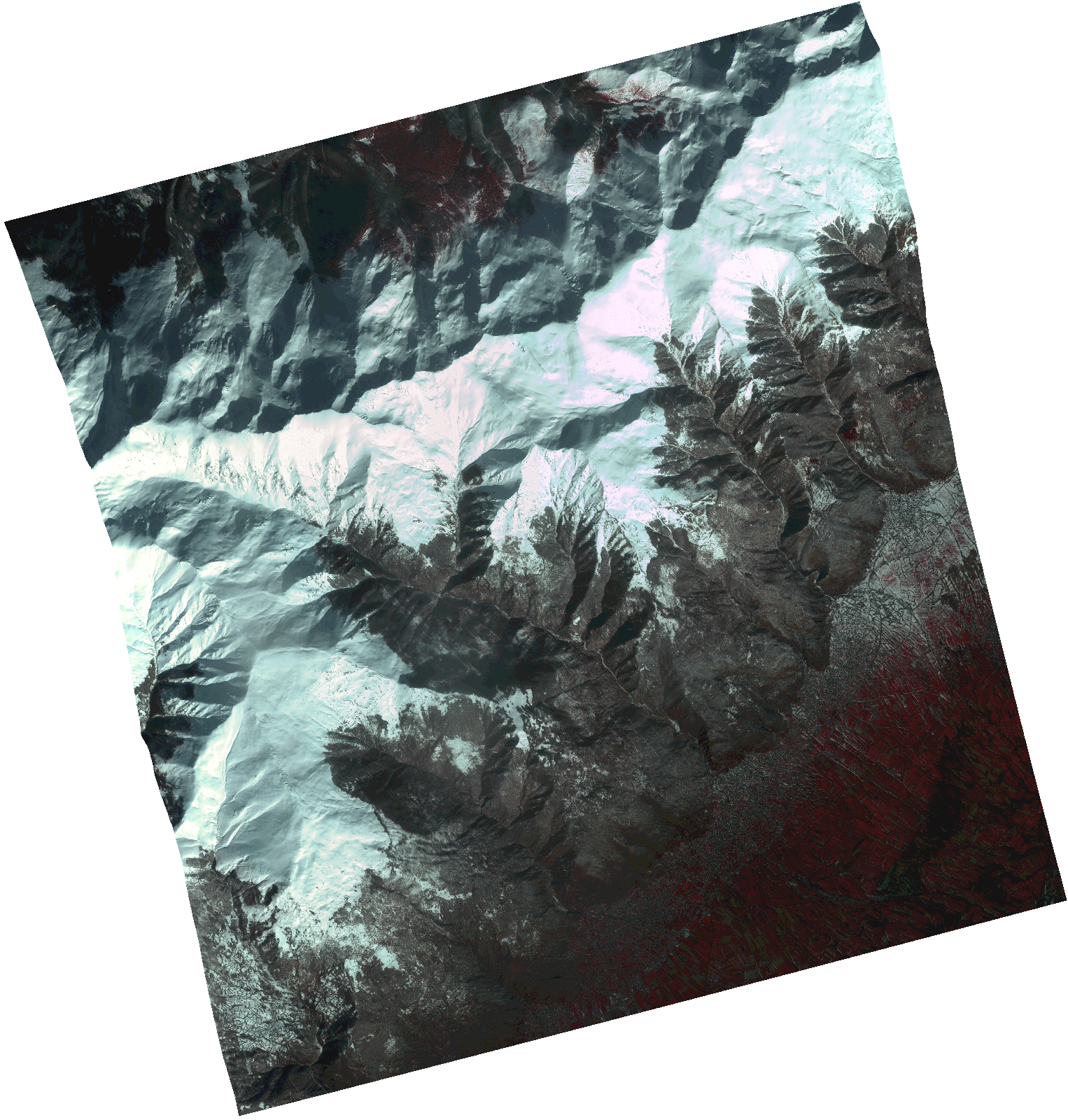
Start Date | 2021-02-19T08:55:42Z |
Stop Date | 2021-02-19T08:55:45Z |
Availability Time | 2021-02-19T08:55:45Z |
Instrument Short Name | HiRAIS |
Sensor Type | OPTICAL |
Operational mode | PSH |
Resolution | 1.0 |
Orbit | 36153 |
Satellite | GEOSAT-2 |
Product type | HRA_PSH_1C |
Orbit Direction | ASCENDING |
Scene Centre Longitude | |
Scene Centre Latitude | |
Illumination Azimuth Angle | 147.025156182 |
Illumination Elevation Angle | 30.645699999999998 |
Footprint | 42.069512 21.120628 42.197786 21.078797 42.167015 20.919305 42.038742 20.961136 42.069512 21.120628 |
Product Size | 1455815218 |
Cloud Cover Percentage | 0 |
Acquisition Type | NOMINAL |
Bounding Box | 42.197786 20.919305 42.038742 20.919305 42.038742 21.120628 42.197786 21.120628 42.197786 20.919305 |
Original name | DE2_PSH_L1C_000000_20210219T085542_20210219T085545_DE2_36153_7CB9.zip |